Cameron Pass, Roosevelt National Forest
Map
Map

Facts and practical information
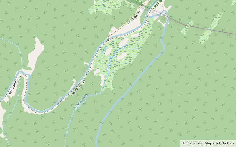
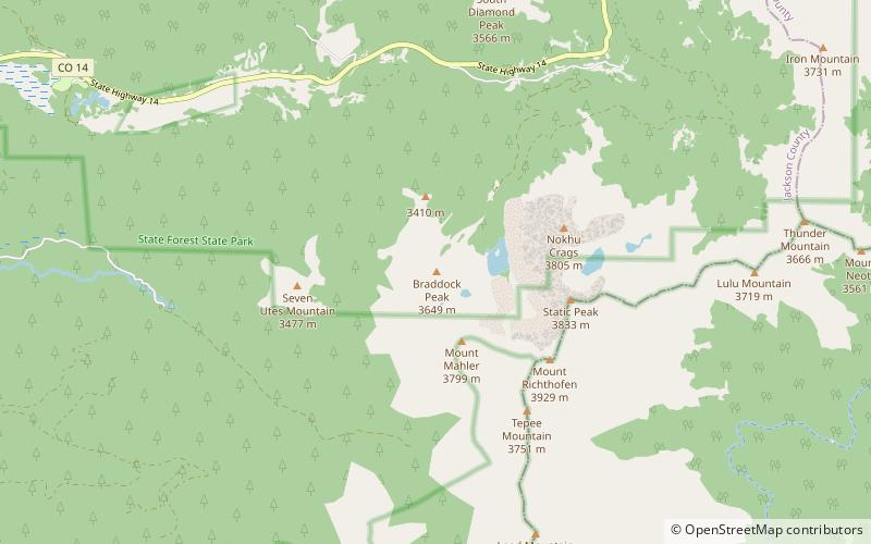
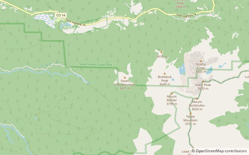
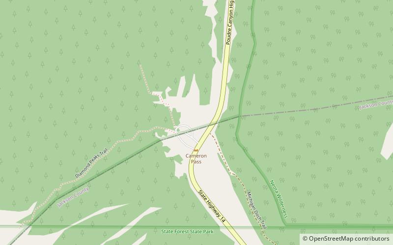
Cameron Pass is a mountain pass in north-central Colorado in the Rocky Mountains of the western United States. The pass is a gap between the south end of the Medicine Bow Mountains and the north end of the Never Summer Mountains. It sits on the border between Jackson County and Larimer County, approximately 3 mi north of the boundary of Rocky Mountain National Park. The pass provides the most convenient route between Fort Collins and Walden in North Park, using State Highway 14. ()
Maximum elevation: 10276 ftCoordinates: 40°31'15"N, 105°53'35"W
Address
Roosevelt National Forest
ContactAdd
Social media
Add
Day trips
Cameron Pass – popular in the area (distance from the attraction)
Nearby attractions include: Mount Richthofen, Static Peak, Specimen Mountain, La Poudre Pass Lake.


