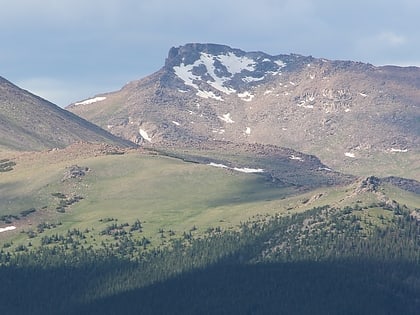
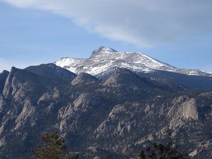
Mummy Range, Rocky Mountain National Park
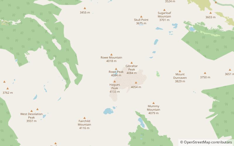
Map
Gallery
Facts and practical information
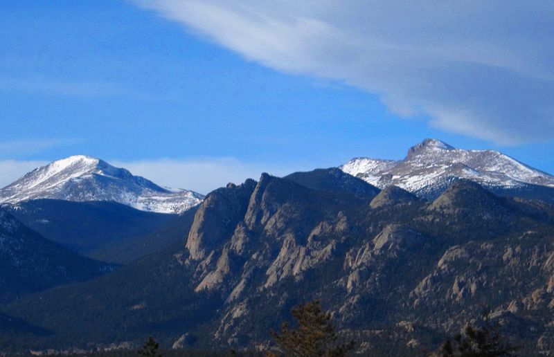
The Mummy Range is a mountain range in the Rocky Mountains of northern Colorado in the United States. The range is a short subrange of the Front Range located in southwestern Larimer County northwest of the town of Estes Park. It is located largely within Rocky Mountain National Park, extending north from Trail Ridge Road approximately 15 miles. The Arapaho name is "nooku-bee3ei-no," which translates to "White Owls." ()
Area: 229 mi²Maximum elevation: 100320 ftCoordinates: 40°29'4"N, 105°38'46"W
Address
Rocky Mountain National Park
ContactAdd
Social media
Add
Day trips
Mummy Range – popular in the area (distance from the attraction)
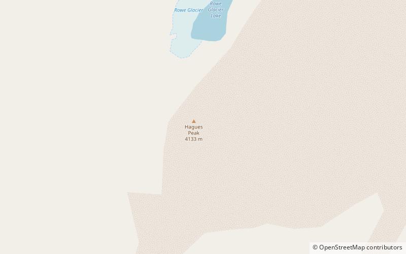
Nearby attractions include: Hagues Peak, Mummy Mountain, Fairchild Mountain, Rowe Glacier.
Frequently Asked Questions (FAQ)
Which popular attractions are close to Mummy Range?
Nearby attractions include Hagues Peak, Rocky Mountain National Park (1 min walk), Rowe Glacier, Rocky Mountain National Park (7 min walk).

