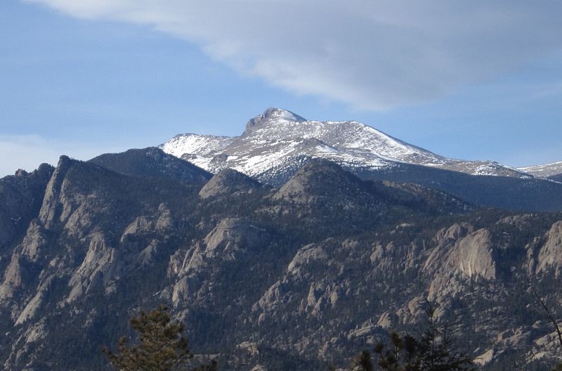
Mummy Mountain, Rocky Mountain National Park

Gallery (2)
Map
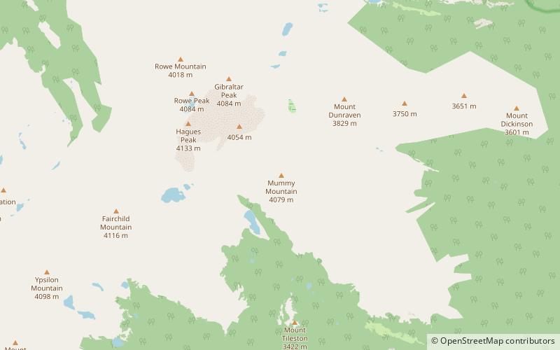
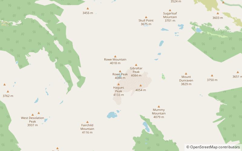
Map
Gallery
Facts and practical information
Mummy Mountain is a high mountain summit in the Mummy Range of the Rocky Mountains of North America. The 13,430-foot thirteener is located in the Rocky Mountain National Park, 8.5 miles northwest by north of the Town of Estes Park in Larimer County, Colorado, United States. ()
Elevation: 13430 ftProminence: 485 ftCoordinates: 40°28'30"N, 105°37'26"W
Address
Rocky Mountain National Park
ContactAdd
Social media
Add
Day trips