St. Paulus Kirche, Cincinnati
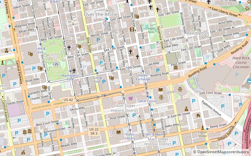
Map
Facts and practical information
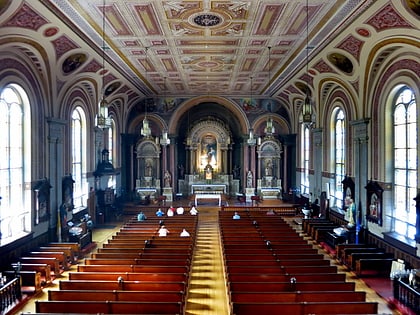
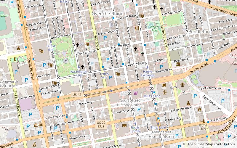
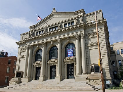
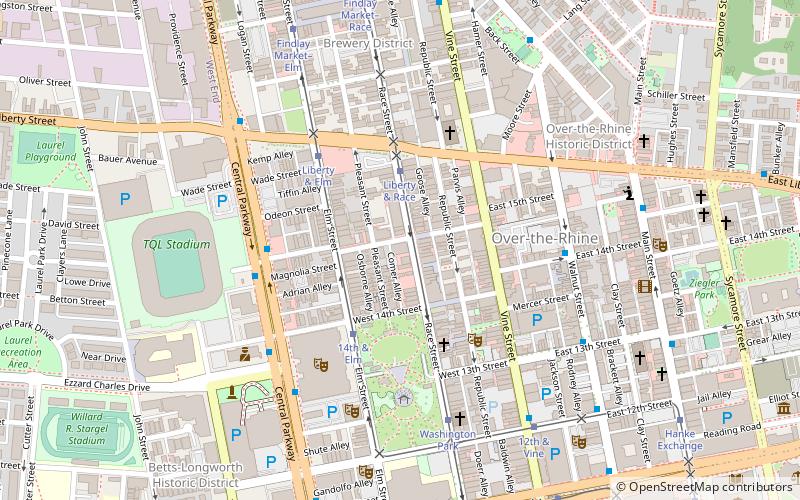
St. Paulus Kirche is a former German Evangelical Protestant church located at the corner of 15th and Race Streets in the Over-the-Rhine historic district of Cincinnati, Ohio. It is one block from the headquarters of 3CDC which are located in Saengerhalle. Built in 1850, it is the oldest surviving Protestant church in the city and the second oldest church in Cincinnati. ()
Coordinates: 39°6'41"N, 84°31'3"W
Address
Over-The RhineCincinnati
ContactAdd
Social media
Add
Day trips
St. Paulus Kirche – popular in the area (distance from the attraction)
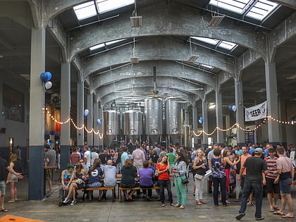
Nearby attractions include: Findlay Market, Rhinegeist, Cincinnati Music Hall, Washington Park.
Frequently Asked Questions (FAQ)
Which popular attractions are close to St. Paulus Kirche?
Nearby attractions include Nast Trinity United Methodist Church, Cincinnati (4 min walk), Saint Francis Seraph Church, Cincinnati (4 min walk), Washington Park, Cincinnati (4 min walk), Cincinnati Music Hall, Cincinnati (5 min walk).
How to get to St. Paulus Kirche by public transport?
The nearest stations to St. Paulus Kirche:
Tram
Bus
Train
Tram
- Liberty & Race • Lines: 100 (3 min walk)
- 14th & Elm • Lines: 100 (3 min walk)
Bus
- Central Pkwy & 15th St • Lines: 20, 6 (5 min walk)
- Walnut St & 14th St • Lines: 17 (5 min walk)
Train
- Cincinnati Union Terminal (28 min walk)

