TQL Stadium, Cincinnati

Gallery (3)
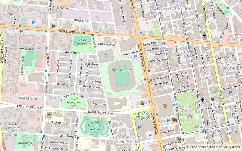
Map
Map
Gallery
Facts and practical information
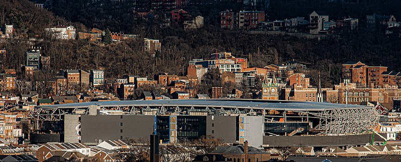
TQL Stadium, called West End Stadium during construction, is a soccer-specific stadium in Cincinnati, Ohio. It is the home of FC Cincinnati, a Major League Soccer team that had been temporarily playing at Nippert Stadium. The stadium is located in the West End neighborhood, at the former site of Stargel Stadium on Central Parkway at Wade Street. The stadium cost about $250 million to construct and holds 26,000 spectators. ()
Address
West EndCincinnati
Contact
+1 513-977-5435
Social media
Add
Getting there by public transportation
Public transportation stops near this location
- Bus
- Tram
- Train
 Bus
Bus
- Calculate routeCentral Pkwy & 15th St 3 min walk
- Calculate routeLinn St & Derrick Turnbow Ave 8 min walk
- Calculate routeLiberty & Elm 6 min walk
- Calculate route14th & Elm 6 min walk
- Calculate routeFindlay Market–Elm 8 min walk
- Calculate routeCincinnati Union Terminal 21 min walk
Day trips
TQL Stadium – popular in the area (distance from the attraction)
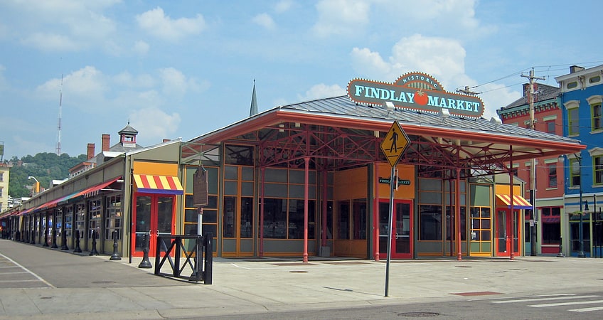
Nearby attractions include: Findlay Market, Rhinegeist, Cincinnati Music Hall, Washington Park.


Frequently Asked Questions (FAQ)
Which popular attractions are close to TQL Stadium?
Nearby attractions include Laurel Homes Historic District, Cincinnati (3 min walk), West End, Cincinnati (5 min walk), Cincinnati Music Hall, Cincinnati (6 min walk), Betts House, Cincinnati (6 min walk).
How to get to TQL Stadium by public transport?
The nearest stations to TQL Stadium:
Bus
Tram
Train
Bus
- Central Pkwy & 15th St • Lines: 20, 6 (3 min walk)
- Linn St & Derrick Turnbow Ave • Lines: 16 (8 min walk)
Tram
- Liberty & Elm • Lines: 100 (6 min walk)
- 14th & Elm • Lines: 100 (6 min walk)
Train
- Cincinnati Union Terminal (21 min walk)