Angle Lake, SeaTac

Gallery (2)
Map
Map
Gallery
Facts and practical information
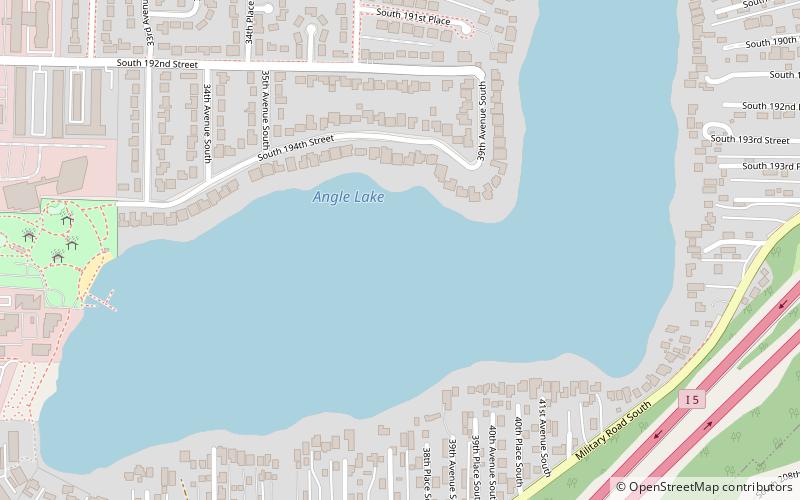
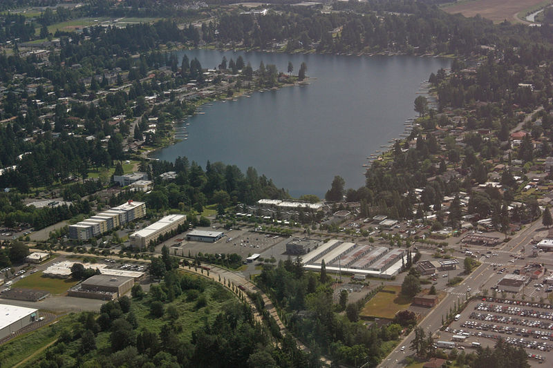
Angle Lake is an L-shaped lake in SeaTac, Washington, United States, occupying 102 acres between Interstate 5 and State Route 99. The lake most likely was so named on account of its outline. On the western shore is a 10-acre park, Angle Lake Park, administered by the City of SeaTac Parks and Recreation department. The remainder of the shoreline is ringed with private homes. ()
Maximum depth: 52 ftElevation: 348 ft a.s.l.Coordinates: 47°25'42"N, 122°17'10"W
Address
SeaTac
ContactAdd
Social media
Add
Day trips