Pennsylvania and Ohio Canal, Kent
Map

Map

Facts and practical information
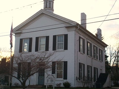
The Pennsylvania and Ohio Canal, also known as the P & O Canal, the Cross Cut Canal and the Mahoning Canal was a shipping canal which operated from 1840 until 1877. It was unique in that it served to connect canals in two states and was funded by private interests. ()
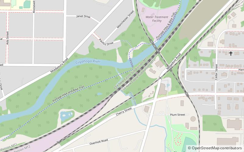
Coordinates: 41°8'32"N, 81°22'25"W
Address
MiddleburyKent
ContactAdd
Social media
Add
Day trips
Pennsylvania and Ohio Canal – popular in the area (distance from the attraction)
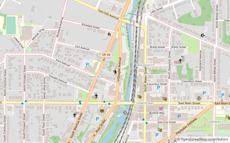
Nearby attractions include: Unitarian Universalist Church of Kent, The Kent Stage, Kent State University Museum, Kent Free Library.
Frequently Asked Questions (FAQ)
How to get to Pennsylvania and Ohio Canal by public transport?
The nearest stations to Pennsylvania and Ohio Canal:
Bus
Bus
- Main and Stow Eastbound • Lines: 30 (18 min walk)
- SR 59 and Stonewater Westbound • Lines: 30 (20 min walk)


