Cedar Lake, Shawnee National Forest
Map

Map

Facts and practical information
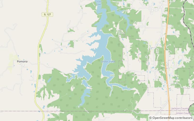
Cedar Lake is a 1,750-acre reservoir in southern Illinois, created by the damming of Cedar Creek, a tributary of the Big Muddy River, in 1974. The lake is located in Jackson County, southwest of Carbondale, Illinois. The lake is accessible from U.S. Highway 51. The lake was constructed for the purpose of supplying tap water to the residents of Carbondale. In addition, the lake serves fishing, swimming, and active recreation purposes. ()
Length: 6 miWidth: 2640 ftMaximum depth: 40 ftElevation: 466 ft a.s.l.Coordinates: 37°37'43"N, 89°17'2"W
Address
Shawnee National Forest
ContactAdd
Social media
Add
Day trips
Cedar Lake – popular in the area (distance from the attraction)
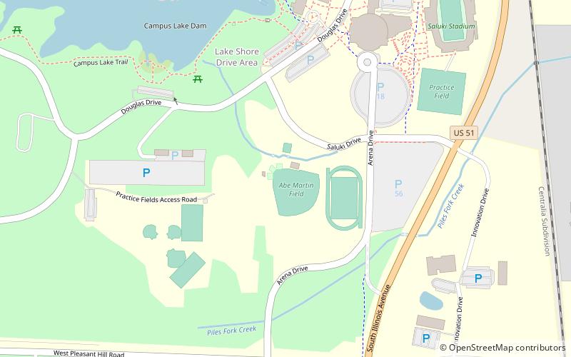
Nearby attractions include: Saluki Stadium, Banterra Center, Giant City State Park, SIU Campus.


