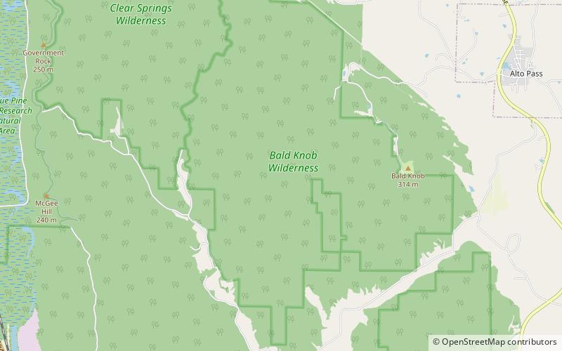
Bald Knob Wilderness

Map
Facts and practical information
The Bald Knob Wilderness is a 5,973-acre parcel of land listed as a Wilderness Area of the United States. It is, by acreage, the second largest wilderness area located within the U.S. state of Illinois. It is located within the Shawnee National Forest in northwestern Union County, Illinois. ()
Coordinates: 37°33'2"N, 89°22'39"W
Location
Illinois
ContactAdd
Social media
Add
Day trips
Bald Knob Wilderness – popular in the area (distance from the attraction)
Nearby attractions include: Cedar Lake, Union Lookout, Clear Springs Wilderness.


