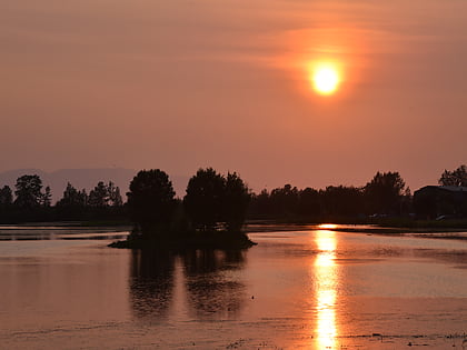
Delaney Park Strip, Anchorage
Map
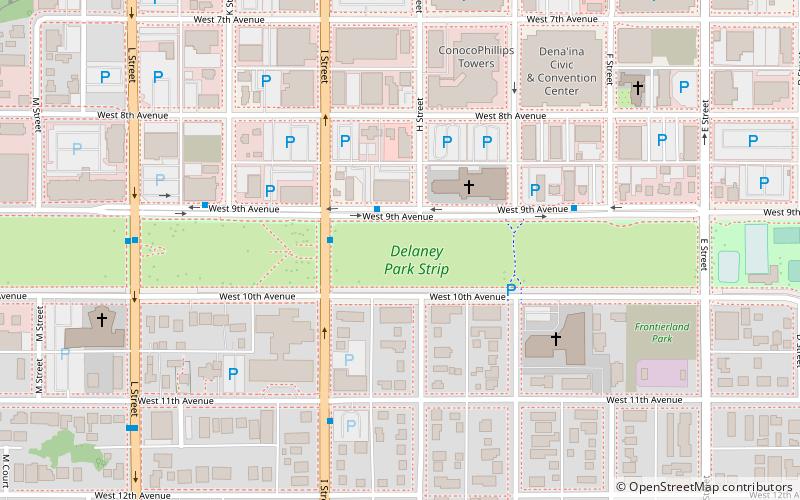
Map

Facts and practical information
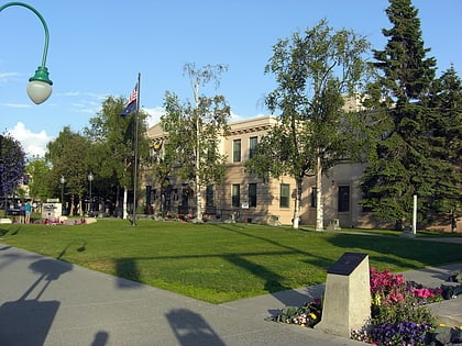
The Delaney Park Strip is an 11-block park in the Municipality of Anchorage, Alaska. Originally a firebreak, the Park Strip would become Anchorage's first airfield. ()
Elevation: 105 ft a.s.l.Coordinates: 61°12'48"N, 149°53'53"W
Address
Downtown AnchorageAnchorage
ContactAdd
Social media
Add
Day trips
Delaney Park Strip – popular in the area (distance from the attraction)
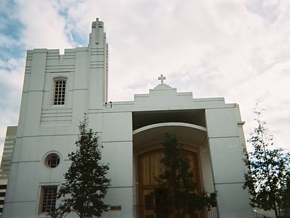
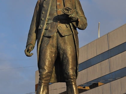
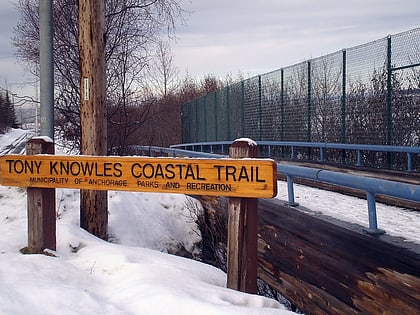
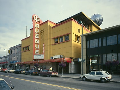
Nearby attractions include: Anchorage 5th Avenue Mall, Holy Family Old Cathedral, Statue of James Cook, Tony Knowles Coastal Trail.
Frequently Asked Questions (FAQ)
Which popular attractions are close to Delaney Park Strip?
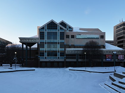
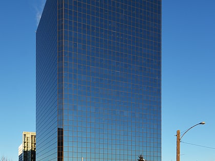
Nearby attractions include Conoco-Phillips Building, Anchorage (4 min walk), Dena'ina Civic and Convention Center, Anchorage (5 min walk), Holy Family Old Cathedral, Anchorage (8 min walk), Alaska Center for the Performing Arts, Anchorage (8 min walk).
How to get to Delaney Park Strip by public transport?
The nearest stations to Delaney Park Strip:
Bus
Train
Bus
- 9th Avenue & H Street WNW • Lines: 40 (1 min walk)
- I street & 9th Avenue SSE • Lines: 10, 40 (2 min walk)
Train
- Anchorage (17 min walk)


