Massachusetts Institute of Technology, Boston
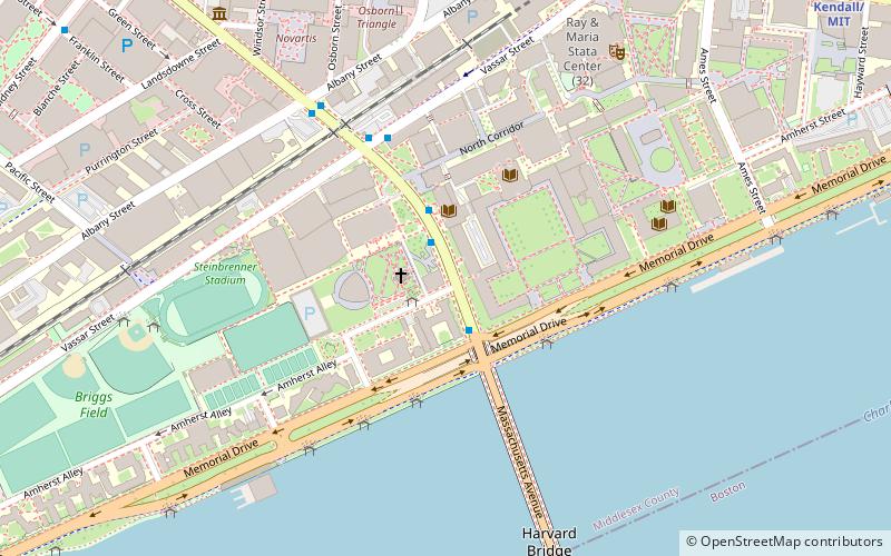
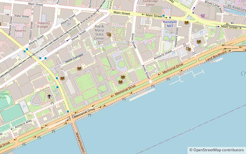
Map
Facts and practical information
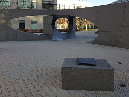
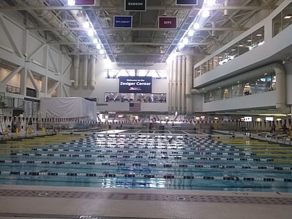
The Massachusetts Institute of Technology is a private land-grant research university in Cambridge, Massachusetts. Established in 1861, MIT has since played a key role in the development of modern technology and science, ranking it among the top academic institutions in the world. ()
Day trips
Massachusetts Institute of Technology – popular in the area (distance from the attraction)
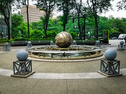
Nearby attractions include: Charles River Esplanade, Harvard Bridge, Stata Center, Galaxy: Earth Sphere.
Frequently Asked Questions (FAQ)
Which popular attractions are close to Massachusetts Institute of Technology?
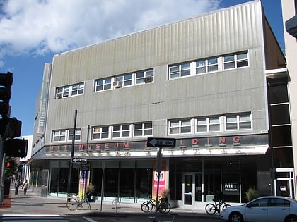
Nearby attractions include Francis Russell Hart Nautical Museum, Boston (1 min walk), Massachusetts Institute of Technology School of Science, Boston (1 min walk), Campus of the Massachusetts Institute of Technology, Boston (2 min walk), MIT Chapel, Boston (2 min walk).
How to get to Massachusetts Institute of Technology by public transport?
The nearest stations to Massachusetts Institute of Technology:
Bus
Metro
Light rail
Train
Bus
- 84 Massachusetts Ave • Lines: 1, Ct1 (1 min walk)
- Massachusetts Ave @ Albany St • Lines: 1 (6 min walk)
Metro
- Kendall/MIT • Lines: Red (13 min walk)
- Central Square • Lines: Red (19 min walk)
Light rail
- Kenmore • Lines: B, C, D (17 min walk)
- Blandford Street • Lines: B (19 min walk)
Train
- Lansdowne (21 min walk)
- Boston Back Bay (31 min walk)
 MBTA Subway


