Massachusetts Institute of Technology Libraries, Boston
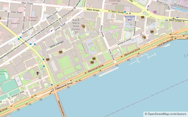
Map
Facts and practical information
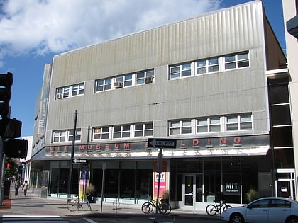
The library system of the Massachusetts Institute of Technology covers all five academic schools comprising the university. The print and multimedia collections of the MIT Libraries include more than 5 million items, with over 3 million volumes of print material, 17,000 journal and other serial subscriptions, 478 online databases, over 55,000 electronic journal titles licensed for access, and over 2.8 million items in collections of microforms, maps, images, musical scores, sound recordings, and videotapes. ()
Coordinates: 42°21'34"N, 71°5'20"W
Address
Cambridge (MIT)Boston
ContactAdd
Social media
Add
Day trips
Massachusetts Institute of Technology Libraries – popular in the area (distance from the attraction)
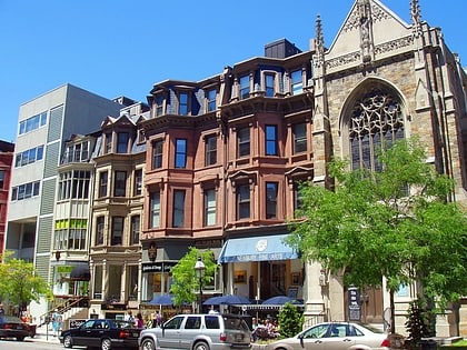
Nearby attractions include: Newbury Street, Charles River Esplanade, Newbury Comics, Harvard Bridge.
Frequently Asked Questions (FAQ)
Which popular attractions are close to Massachusetts Institute of Technology Libraries?
Nearby attractions include List Visual Arts Center, Boston (4 min walk), MIT Campus, Boston (5 min walk), Barker Library, Boston (5 min walk), MIT Media Lab, Boston (5 min walk).
How to get to Massachusetts Institute of Technology Libraries by public transport?
The nearest stations to Massachusetts Institute of Technology Libraries:
Bus
Metro
Light rail
Train
Bus
- 84 Massachusetts Ave • Lines: 1, Ct1 (7 min walk)
- Massachusetts Ave @ Albany St • Lines: 1 (10 min walk)
Metro
- Kendall/MIT • Lines: Red (7 min walk)
- Central Square • Lines: Red (22 min walk)
Light rail
- Hynes Convention Center • Lines: B, C, D (20 min walk)
- Kenmore • Lines: B, C, D (21 min walk)
Train
- Lansdowne (25 min walk)
- Boston Back Bay (28 min walk)
 MBTA Subway