Prospect Park, Minneapolis
Map
Gallery
Facts and practical information
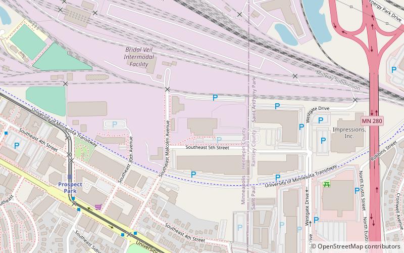
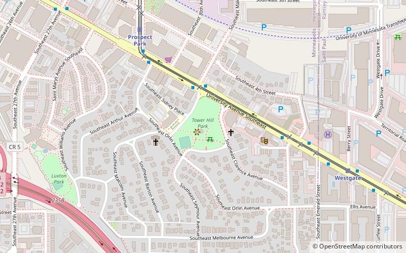
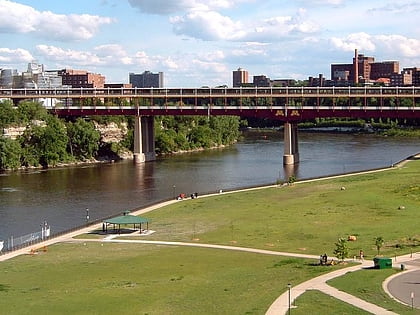
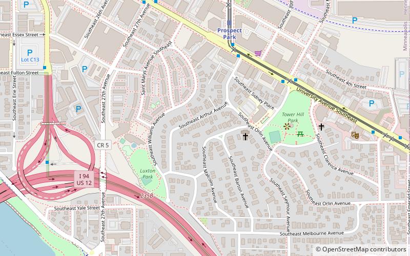
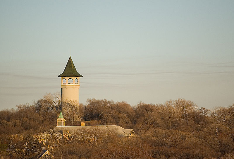
Prospect Park is a historic neighborhood within the University community of the U.S. city of Minneapolis, Minnesota. The area is bounded by the Mississippi River to the south, the City of Saint Paul, Minnesota to the east, the Burlington Northern railroad yard to the north, and the Stadium Village commercial district of the University of Minnesota to the west. The neighborhood is composed of several districts which include the East River Road area. The 1913 Prospect Park Water Tower is a landmark and neighborhood icon. ()
Area: 1.24 mi²Coordinates: 44°58'7"N, 93°12'59"W
Day trips
Prospect Park – popular in the area (distance from the attraction)
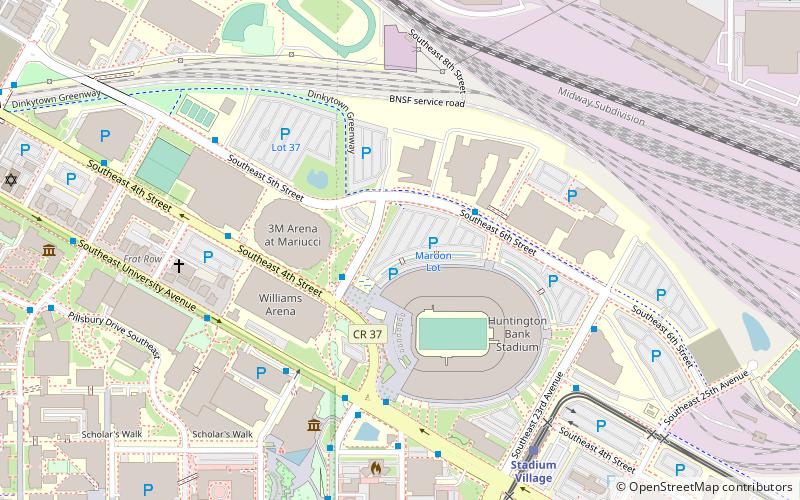
Nearby attractions include: Huntington Bank Stadium, Mariucci Arena, Weisman Art Museum, Williams Arena.
Frequently Asked Questions (FAQ)
Which popular attractions are close to Prospect Park?
Nearby attractions include Prospect Park Water Tower, Minneapolis (5 min walk), Tower Hill Park, Minneapolis (5 min walk), WaHu Student Apartments, Minneapolis (12 min walk), Hub, Minneapolis (12 min walk).
How to get to Prospect Park by public transport?
The nearest stations to Prospect Park:
Light rail
Bus
Light rail
- Prospect Park • Lines: 902 (6 min walk)
- Westgate • Lines: 902 (13 min walk)
Bus
- Malcolm Av • Lines: 67C (8 min walk)
- River Terrace E • Lines: 67, 67C (8 min walk)


