Girard Point Bridge, Philadelphia
Map
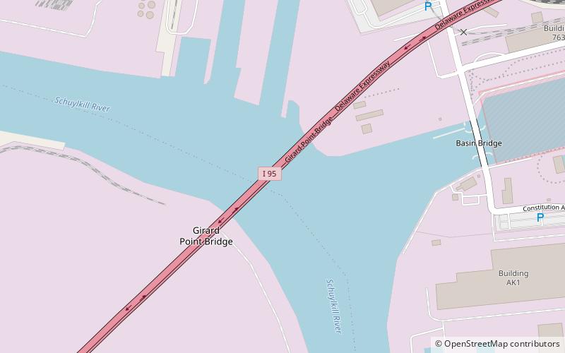
Map

Facts and practical information
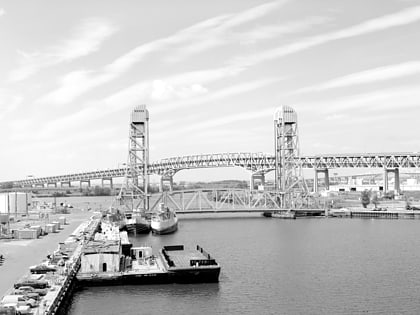
The Girard Point Bridge is a double-decked cantilevered truss bridge carrying Interstate 95 across the Schuylkill River in the American city of Philadelphia, Pennsylvania. The bridge was opened in 1973. It is the last crossing of the Schuylkill River, which empties into the Delaware River less than half a mile downstream. ()
Completed: 1973 (53 years ago)Coordinates: 39°53'33"N, 75°11'49"W
Address
Philadelphia
ContactAdd
Social media
Add
Day trips
Girard Point Bridge – popular in the area (distance from the attraction)
Nearby attractions include: Fort Mifflin, American Swedish Historical Museum, Franklin Delano Roosevelt Park, Philadelphia Naval Shipyard.
 SEPTA Regional Rail
