George C. Platt Bridge, Philadelphia
Map
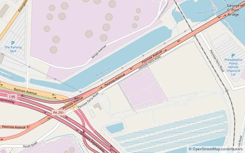
Map

Facts and practical information
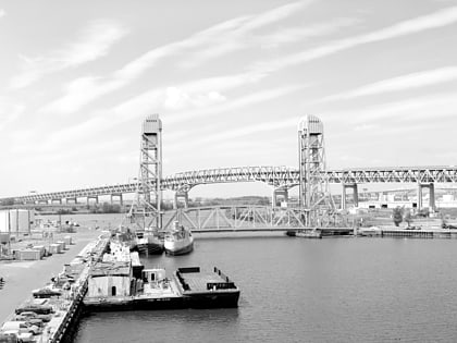
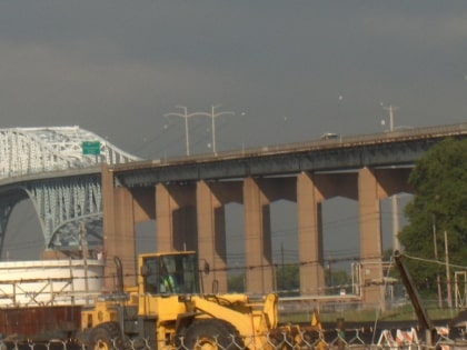
The George C. Platt Memorial Bridge is a through truss bridge that carries PA 291 over the Schuylkill River in Southwest Philadelphia, Pennsylvania. It was opened to traffic in 1951, replacing a swing bridge to the south which carried Penrose Ferry Road across the river. Originally called the Penrose Avenue Bridge, it was renamed in 1979 to honor Civil War hero George Crawford Platt. Today, the Platt Bridge is a key arterial route which carries an average of 56,000 vehicles daily. ()
Opened: 1951 (75 years ago)Length: 8780 ftWidth: 48 ftCoordinates: 39°53'39"N, 75°13'10"W
Address
Southwest PhiladelphiaPhiladelphia
ContactAdd
Social media
Add
Day trips
George C. Platt Bridge – popular in the area (distance from the attraction)
Nearby attractions include: Simeone Foundation Automotive Museum, Southwest Philadelphia, Girard Point Bridge, Eastwick.
Frequently Asked Questions (FAQ)
How to get to George C. Platt Bridge by public transport?
The nearest stations to George C. Platt Bridge:
Tram
Train
Tram
- Island Avenue & Suffolk Avenue • Lines: 36 (29 min walk)
Train
- PHL Airport Terminals E & F (39 min walk)
- PHL Airport Terminals C & D (43 min walk)
 SEPTA Regional Rail
