Calvary Catholic Cemetery, Pittsburgh
Map
Facts and practical information
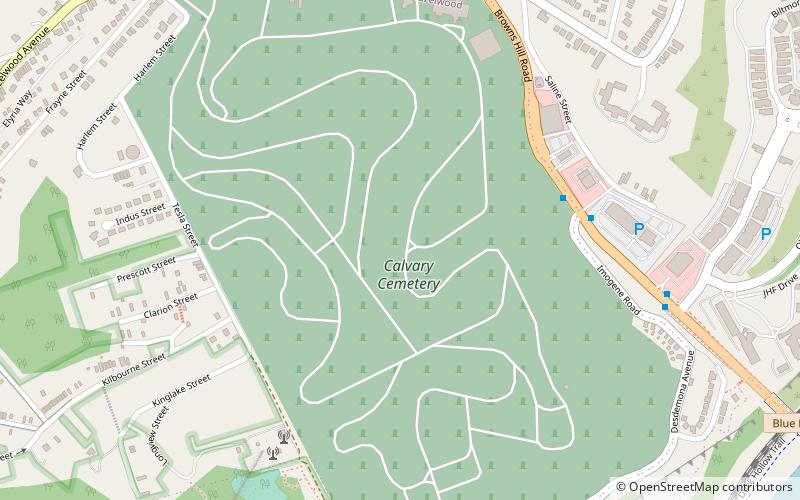
Calvary Catholic Cemetery is located at 718 Hazelwood Avenue in the Greenfield and Hazelwood neighborhoods of Pittsburgh, Pennsylvania, USA. ()
Coordinates: 40°24'53"N, 79°55'43"W
Address
East End (Hazelwood)Pittsburgh
ContactAdd
Social media
Add
Getting there by public transportation
Public transportation stops near this location
- Bus
 Bus
Bus
- Calculate routeWaterfront Drive opposite Loew's Theatre 19 min walk
Day trips


Frequently Asked Questions (FAQ)
Which popular attractions are close to Calvary Catholic Cemetery?
Nearby attractions include Glen Hazel, Pittsburgh (14 min walk), Hazelwood, Pittsburgh (15 min walk), Homestead Grays Bridge, Pittsburgh (15 min walk), Summerset, Pittsburgh (18 min walk).
How to get to Calvary Catholic Cemetery by public transport?
The nearest stations to Calvary Catholic Cemetery:
Bus
Bus
- Waterfront Drive opposite Loew's Theatre • Lines: 59 (19 min walk)