Greenfield Bridge, Pittsburgh
Map

Gallery

Facts and practical information
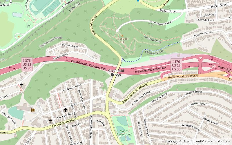
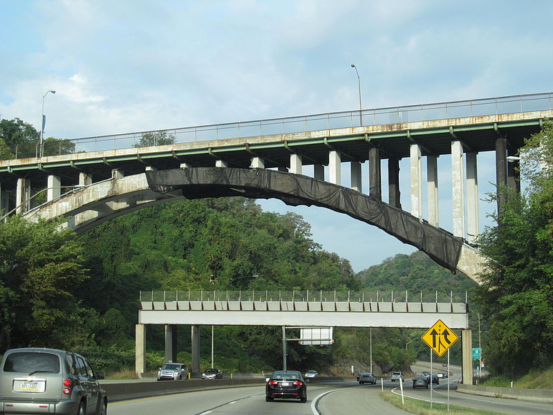
The Greenfield Bridge, officially known as the Beechwood Boulevard Bridge II, is a steel arch bridge located in Pittsburgh, Pennsylvania, United States. The bridge connects the neighborhoods of Greenfield and Squirrel Hill across the valley known as Four Mile Run which separates them. The bridge also spans the Parkway East, which runs along the bottom of the valley. ()
Coordinates: 40°25'43"N, 79°56'17"W
Address
East End (Greenfield)Pittsburgh
ContactAdd
Social media
Add
Day trips
Greenfield Bridge – popular in the area (distance from the attraction)
Nearby attractions include: Bob O'Connor Golf Course at Schenley Park, Phipps Conservatory, Frick Fine Arts Building, Kraus Campo.
Frequently Asked Questions (FAQ)
Which popular attractions are close to Greenfield Bridge?
Nearby attractions include Greenfield, Pittsburgh (8 min walk), Saint John Chrysostom Byzantine Catholic Church, Pittsburgh (10 min walk), Schenley Park Ice Skating Rink, Pittsburgh (11 min walk), Schenley Park, Pittsburgh (13 min walk).
How to get to Greenfield Bridge by public transport?
The nearest stations to Greenfield Bridge:
Bus
Bus
- Fifth Avenue at Desoto Street • Lines: 71B (37 min walk)
- Atwood Station • Lines: 71B (37 min walk)


