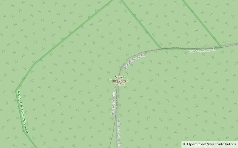
Mount Porte Crayon, Monongahela National Forest

Map
Facts and practical information
Mount Porte Crayon is a mountain in the Roaring Plains Wilderness of the Monongahela National Forest in the northeastern corner of Randolph County, West Virginia, USA. It rises to an elevation of 4,770 feet, the elevational climax of the Allegheny Front. The mountain is named for 19th century writer and illustrator David Hunter Strother, known as "Porte Crayon", who produced a wide array of early West Virginia landscapes in his work. ()
Elevation: 4770 ftProminence: 1590 ftCoordinates: 38°55'44"N, 79°27'22"W
Day trips
Mount Porte Crayon – popular in the area (distance from the attraction)
Nearby attractions include: Roaring Plains West Wilderness, Day-Vandevander Mill.

