Roaring Plains West Wilderness, Monongahela National Forest
Map

Map

Facts and practical information
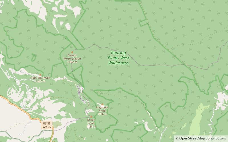
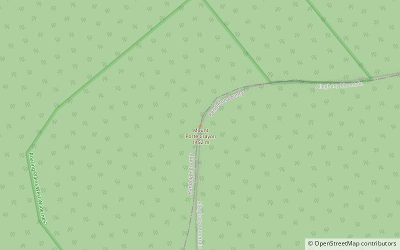
The Roaring Plains West Wilderness is a U.S. Wilderness Area in the Allegheny Mountains of eastern West Virginia, USA. It is part of the Monongahela National Forest and includes Mount Porte Crayon, the sixth highest point in the state. ()
Established: 2009 (17 years ago)Coordinates: 38°55'12"N, 79°25'52"W
Address
Monongahela National Forest
ContactAdd
Social media
Add
Day trips
Roaring Plains West Wilderness – popular in the area (distance from the attraction)
Nearby attractions include: Mount Porte Crayon, Day-Vandevander Mill.


