Antimony Peak, Los Padres National Forest
Map

Map

Facts and practical information
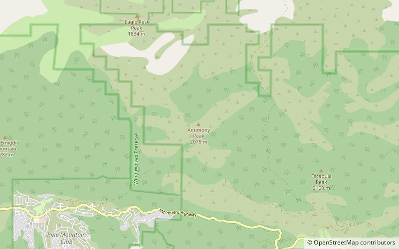
Antimony Peak is a steep peak located in southern Kern County, in the San Emigdio Mountains of the Transverse Ranges of California. It is the taller one of two summits with that name in Kern County. The second Antimony Peak is in the Sierra Nevada Mountains. A third Antimony Peak the shortest of the three is in the Diablo Range on the boundary of San Benito County and Merced County, California. All three of these peaks are in California and no other mountains have this name in the United States. ()
Elevation: 6851 ftProminence: 888 ftCoordinates: 34°52'37"N, 119°6'43"W
Address
Los Padres National Forest
ContactAdd
Social media
Add
Day trips
Antimony Peak – popular in the area (distance from the attraction)
Nearby attractions include: Mount Pinos, Sawmill Mountain, Cerro Noroeste, San Emigdio Mountains.


