Cerro Noroeste, Los Padres National Forest

Map
Facts and practical information
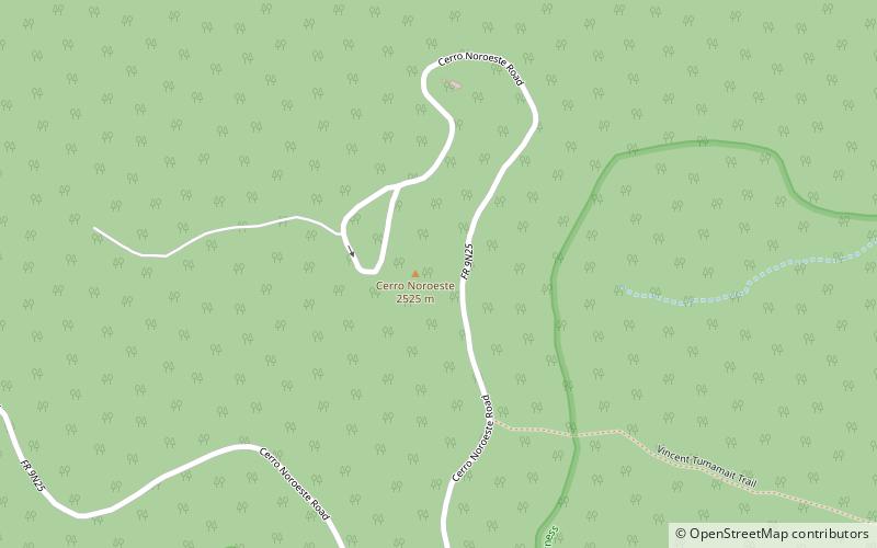
Cerro Noroeste is a mountain located in Southern California's Kern County, a mile north of the Ventura County border. It is located a few miles southwest of the community of Pine Mountain Club, at an elevation of 8283 feet. The mountain is located in the Los Padres National Forest. It is surrounded by the Chumash Wilderness to the south and west, though the peak itself is not actually within the wilderness. ()
Prominence: 680 ftCoordinates: 34°49'51"N, 119°12'11"W
Address
Los Padres National Forest
ContactAdd
Social media
Add
Day trips
Cerro Noroeste – popular in the area (distance from the attraction)
Nearby attractions include: Mount Pinos, Sawmill Mountain, Antimony Peak, San Emigdio Mountains.


