Long Island City, New York City
Map
Gallery
Facts and practical information
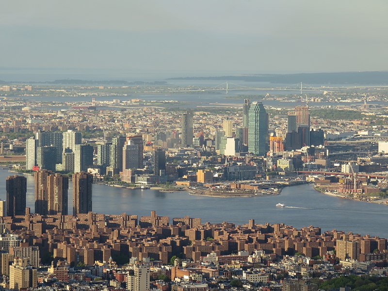
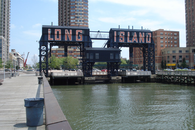
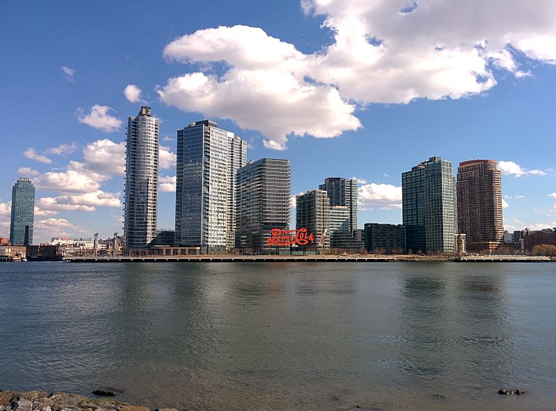
Long Island City is a residential and commercial neighborhood on the extreme western tip of Queens, a borough in New York City. It is bordered by Astoria to the north; the East River to the west; Hazen Street, 49th Street, and New Calvary Cemetery in Sunnyside to the east; and Newtown Creek—which separates Queens from Greenpoint, Brooklyn—to the south. ()
Day trips
Long Island City – popular in the area (distance from the attraction)
Nearby attractions include: Roosevelt Island Tramway, One Court Square, MoMA PS1, 5 Pointz.
Frequently Asked Questions (FAQ)
Which popular attractions are close to Long Island City?
Nearby attractions include Queens Plaza Park, New York City (7 min walk), SculptureCenter, New York City (8 min walk), One Court Square, New York City (9 min walk), Fisher Landau Center for Art, New York City (12 min walk).
How to get to Long Island City by public transport?
The nearest stations to Long Island City:
Bus
Metro
Train
Bus
- Queens Plaza & 24th Street • Lines: Q69 (1 min walk)
- Queens Plaza South & 28th Street • Lines: Q32, Q60 (4 min walk)
Metro
- Queensboro Plaza • Lines: <7>, 7, N, W (2 min walk)
- Queens Plaza • Lines: E, M, R (7 min walk)
Train
- Hunterspoint Avenue (18 min walk)
- Long Island City (27 min walk)




 Subway
 Manhattan Buses


