Queensbridge Park, New York City
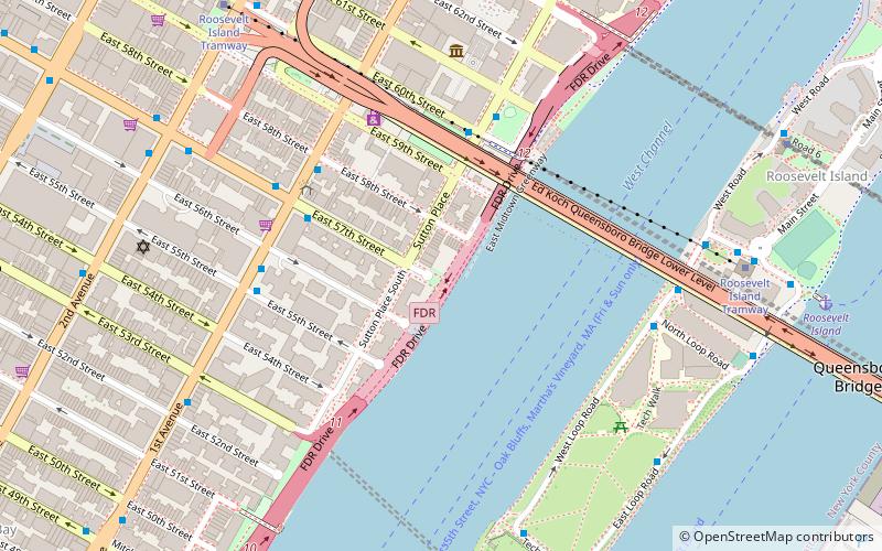
Map
Gallery
Facts and practical information
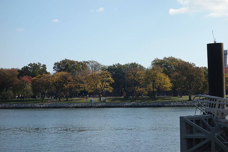
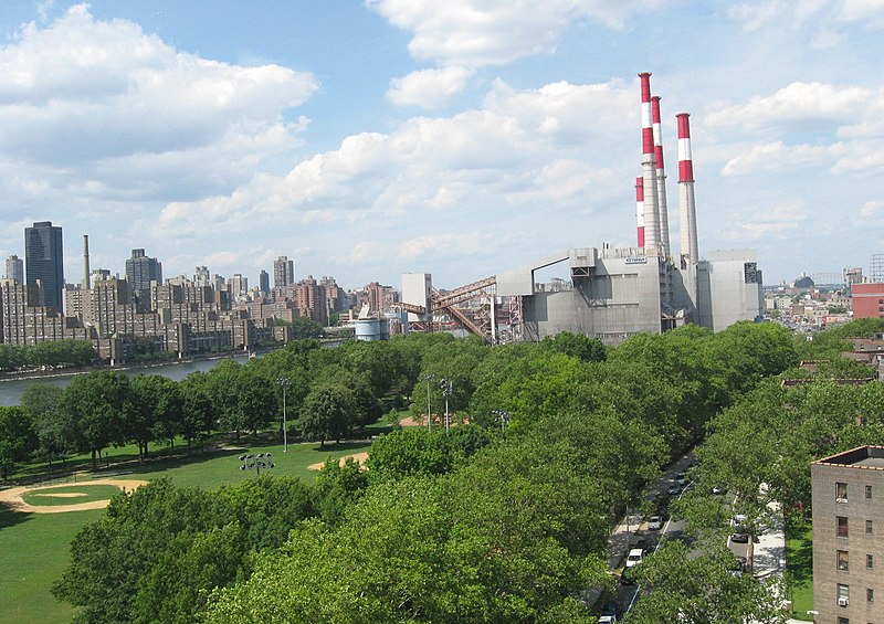
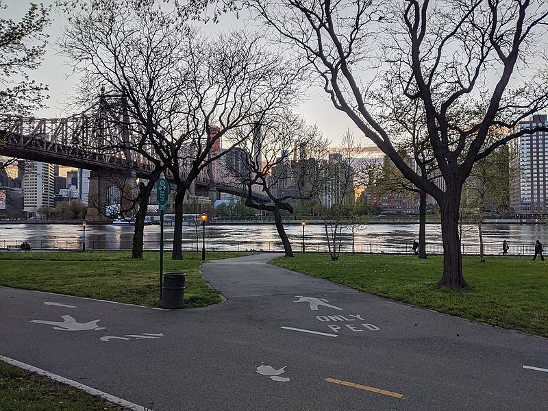
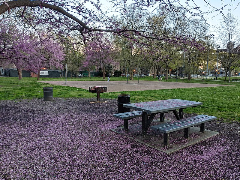
Queensbridge Park, named for the nearby Queensboro Bridge, is a 20.34-acre city park along the East River in Long Island City, Queens, New York City. The park is a primary place of recreation for residents of Queensbridge Houses and has a riverfront promenade, baseball diamonds, running paths, lawns and areas for picnicking. ()
Elevation: 7 ft a.s.l.Coordinates: 40°45'23"N, 73°56'55"W
Address
Northwestern Queens (Long Island City)New York City
ContactAdd
Social media
Add
Day trips
Queensbridge Park – popular in the area (distance from the attraction)
Nearby attractions include: Roosevelt Island Tramway, One Court Square, MoMA PS1, 5 Pointz.
Frequently Asked Questions (FAQ)
Which popular attractions are close to Queensbridge Park?
Nearby attractions include Queensboro Bridge, New York City (5 min walk), Blackwell House, New York City (8 min walk), Chapel of the Good Shepherd, New York City (10 min walk), Roosevelt Island, New York City (10 min walk).
How to get to Queensbridge Park by public transport?
The nearest stations to Queensbridge Park:
Bus
Metro
Train
Bus
- Main St / F Subway • Lines: Q102 (7 min walk)
- West Rd / F Subway • Lines: Q102 (8 min walk)
Metro
- Roosevelt Island • Lines: <F>, F (7 min walk)
- 21st Street–Queensbridge • Lines: <F>, F (9 min walk)
Train
- Hunterspoint Avenue (26 min walk)
- Long Island City (29 min walk)



 Subway
 Manhattan Buses


