Mount Hancock, White Mountain National Forest
#48 among attractions in White Mountain National Forest
![Mount Hancock location map](https://tzmedia.b-cdn.net/media/images/static-maps/us/44_0837_-71_4937.jpg)
Facts and practical information
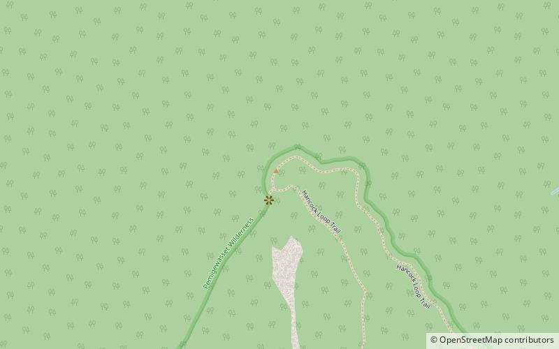
Mount Hancock is a mountain in Grafton County, New Hampshire, named after John Hancock, one of the Founding Fathers of the United States. ()
White Mountain National Forest United States
White Mountain National Forest plan & book
Unleash the traveler in you — discover the cheapest flight deals, find the perfect hotel or hostel nearby, and search for the best car rental prices. Travel at your own pace to discover new places and enjoy your journey.
Mount Hancock – popular in the area (distance from the attraction)
Nearby attractions include: Mount Bond, Mount Carrigain, Arethusa Falls, Owl's Head.
5.1 miNNature, Natural attraction, MountainMount Bond, White Mountain National Forest
131 min walk • Mount Bond is a mountain located in Grafton County, New Hampshire, United States. The mountain is named after Professor George P. Bond of Harvard University, and is the southernmost extension of the Twin Range of the White Mountains. Mount Bond is flanked to the north by Mount Guyot.
2.4 miENature, Natural attraction, MountainMount Carrigain, White Mountain National Forest
62 min walk • Mount Carrigain is a mountain located in Grafton County, New Hampshire. The mountain is named after Phillip Carrigain, NH Secretary of State, and is on the south side of the Pemigewasset Wilderness, the source of the East Branch of the Pemigewasset River in the heart of the White Mountains, between Franconia Notch and Crawford Notch.
7 miNENature, Natural attraction, WaterfallArethusa Falls, Bartlett
178 min walk • Arethusa Falls is a waterfall in the White Mountains of New Hampshire in the United States. The waterfall occurs when the headwaters of Bemis Brook tumble over a granite cliff on the western slope of Crawford Notch.
6.9 miNWNature, Natural attraction, MountainOwl's Head, White Mountain National Forest
177 min walk • Owl's Head is a 4,025-foot mountain in Franconia, New Hampshire. It lies between the Franconia Branch of the Pemigewasset River and Lincoln Brook, in the Pemigewasset Wilderness of the White Mountain National Forest.
2.6 miNWNatural attraction, Protected areaPemigewasset Wilderness, White Mountain National Forest
68 min walk • The Pemigewasset Wilderness is a 45,000-acre federally designated Wilderness Area in the heart of New Hampshire's White Mountains. It is a part of the White Mountain National Forest. It is New Hampshire's largest wilderness area.
5.2 miNENature, Natural attraction, MountainMount Nancy, White Mountain National Forest
132 min walk • Mount Nancy, formerly Mount Amorisgelu, is a mountain located in Grafton County, New Hampshire, on the eastern boundary of the Pemigewasset Wilderness of the White Mountains. The mountain is the highest point and namesake of the Nancy Range. Mt.
5.5 miSNature, Natural attraction, MountainEast Peak Mount Osceola, White Mountain National Forest
141 min walk • The East Peak of Mount Osceola is one of the official New Hampshire 4000-footers, standing at an elevation of 4,156 feet. East Osceola's prominence is between 316 feet and 356 feet, with the key saddle between it and Mount Osceola.
6.2 miSWNature, Natural attraction, MountainScar Ridge, White Mountain National Forest
159 min walk • Scar Ridge, also known as Scar Ridge, is a mountain located in Grafton County, New Hampshire. It is part of the White Mountains. It is officially trailless and several different routes are possible. Scar Ridge is flanked to the west by Loon Mountain, to the northwest by Black Mountain, and to the east by Mount Osceola.