Pemigewasset Wilderness, White Mountain National Forest

Gallery (3)
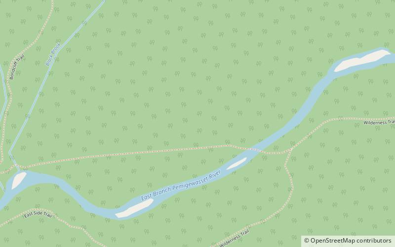
Map
Map
Gallery
Facts and practical information
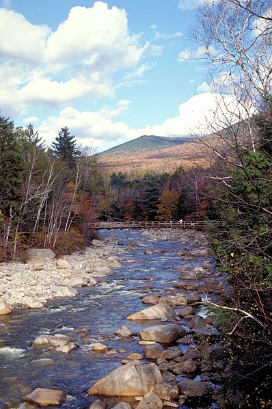
The Pemigewasset Wilderness is a 45,000-acre federally designated Wilderness Area in the heart of New Hampshire's White Mountains. It is a part of the White Mountain National Forest. It is New Hampshire's largest wilderness area. ()
Established: 1984 (42 years ago)Coordinates: 44°6'45"N, 71°31'44"W
Address
White Mountain National Forest
ContactAdd
Social media
Add
Day trips


