Carver Industrial Historic District, Richmond
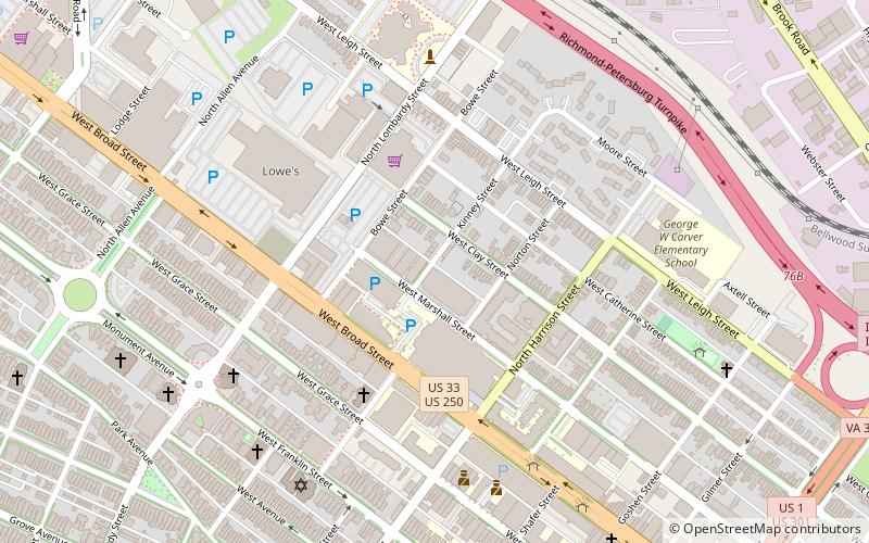
Map
Gallery
Facts and practical information
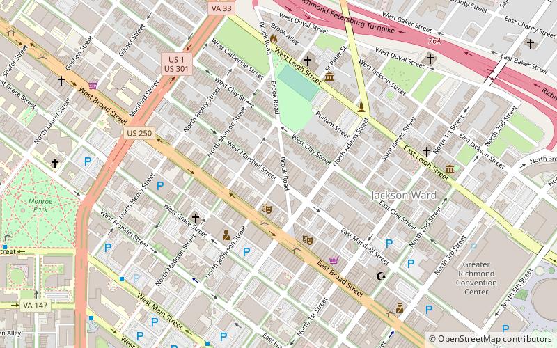
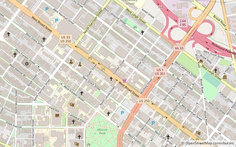
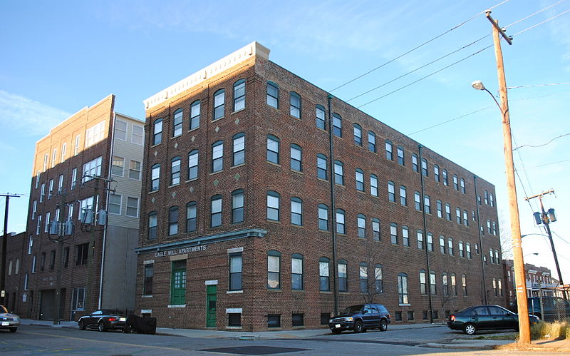
The Carver Industrial Historic District is a national historic district located at Carver, Richmond, Virginia. The district encompasses 13 contributing buildings located west of downtown Richmond. The industrial area developed between 1890 and 1930, along the tracks of the Richmond, Fredericksburg and Potomac Railroad. The buildings are in a variety of popular 19th-century and early 20th century architectural styles including Queen Anne and Romanesque. ()
Coordinates: 37°33'15"N, 77°27'11"W
Address
Fan - Oregon Hill - Carver (Carver)Richmond
ContactAdd
Social media
Add
Day trips
Carver Industrial Historic District – popular in the area (distance from the attraction)
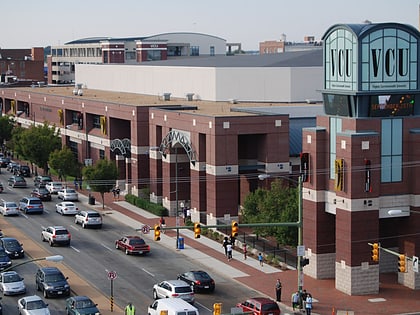
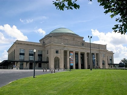
Nearby attractions include: Siegel Center, J. E. B. Stuart Monument, Cathedral of the Sacred Heart, Science Museum of Virginia.
Frequently Asked Questions (FAQ)
Which popular attractions are close to Carver Industrial Historic District?
Nearby attractions include Siegel Center, Richmond (3 min walk), West Broad Street Commercial Historic District, Richmond (4 min walk), Carver Residential Historic District, Richmond (5 min walk), Maggie Walker Arts, Richmond (6 min walk).
How to get to Carver Industrial Historic District by public transport?
The nearest stations to Carver Industrial Historic District:
Bus
Bus
- Cary & Harrison • Lines: 5 (18 min walk)
- Main & Stafford • Lines: 78 (26 min walk)

