Spiller Farm, Wells
Map

Map

Facts and practical information
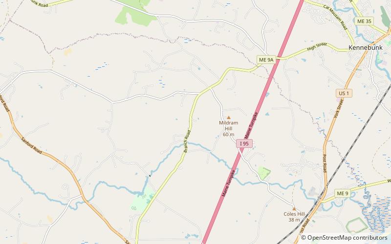
The Spiller Farm Paleoindian Site, designated Site 4.13 by the Maine Archaeological Survey, is a prehistoric archaeological site in Wells, Maine. Located overlooking a stream on the Spiller Farm property on Branch Road, it is an extensive site at which a fine collection of stone artifacts has been found, dating to c. 8,000 BCE. The site was listed on the National Register of Historic Places in 2003. ()
Coordinates: 43°21'54"N, 70°36'18"W
Day trips
Spiller Farm – popular in the area (distance from the attraction)
Nearby attractions include: Wedding Cake House, Brick Store Museum, Wells National Estuarine Research Reserve, Wallingford Hall.
Frequently Asked Questions (FAQ)
When is Spiller Farm open?
Spiller Farm is open:
- Monday 6 am - 9 pm
- Tuesday 6 am - 9 pm
- Wednesday 6 am - 9 pm
- Thursday 6 am - 9 pm
- Friday 6 am - 9 pm
- Saturday 6 am - 9 pm
- Sunday 6 am - 9 pm


