Lower Alewive Historic District, Kennebunk
Map

Map

Facts and practical information
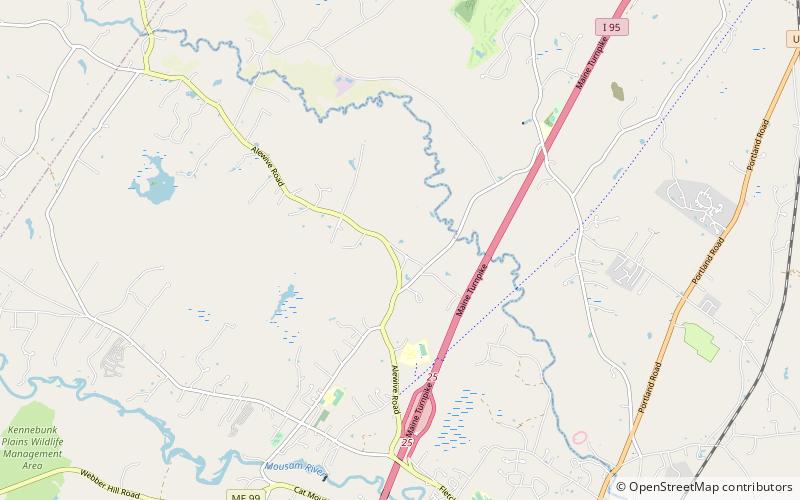
The Lower Alewive Historic District encompasses a rural agricultural landscape in northwestern Kennebunk, Maine. It includes four farm properties, all originally laid out in the 1750s, between the Kennebunk River to the north, and a street now variously named Russell Farm Road, Emmons Road Extension, and Winnow Hill Lane to the south. The district was listed on the National Register of Historic Places in 1994. ()
Area: 208 acres (0.325 mi²)Coordinates: 43°25'50"N, 70°33'46"W
Address
Kennebunk
ContactAdd
Social media
Add
Day trips
Lower Alewive Historic District – popular in the area (distance from the attraction)
Nearby attractions include: First Chance Whalewatch, Seashore Trolley Museum, Wedding Cake House, City Theater.


