Wollaston, Quincy
Map

Map

Facts and practical information
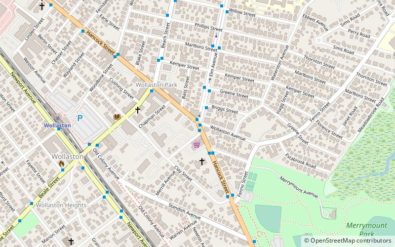
Wollaston, Massachusetts, is a neighborhood in the city of Quincy, Massachusetts. Divided by Hancock Street or Route 3A, the Wollaston Beach side is known as Wollaston Park, while the Wollaston Hill side is known as Wollaston Heights. ()
Coordinates: 42°15'60"N, 71°0'52"W
Address
Quincy (Wollaston)Quincy
ContactAdd
Social media
Add
Day trips
Wollaston – popular in the area (distance from the attraction)
Nearby attractions include: Adams National Historical Park, Dorothy Quincy Homestead, Peacefield, Josiah Quincy House.
Frequently Asked Questions (FAQ)
Which popular attractions are close to Wollaston?
Nearby attractions include Eastern Nazarene College, Quincy (9 min walk), Josiah Quincy House, Quincy (9 min walk), Wollaston Congregational Church, Quincy (10 min walk), Randolph Bainbridge House, Quincy (11 min walk).
How to get to Wollaston by public transport?
The nearest stations to Wollaston:
Bus
Metro
Train
Bus
- North Quincy Station (25 min walk)
- Quincy Center Station - Inbound • Lines: 240-2 inbound, 240-3 inbound (28 min walk)
Metro
- Quincy Center • Lines: Red (29 min walk)
Train
- Quincy Center (29 min walk)


