Wollaston Beach, Quincy
Map

Map

Facts and practical information
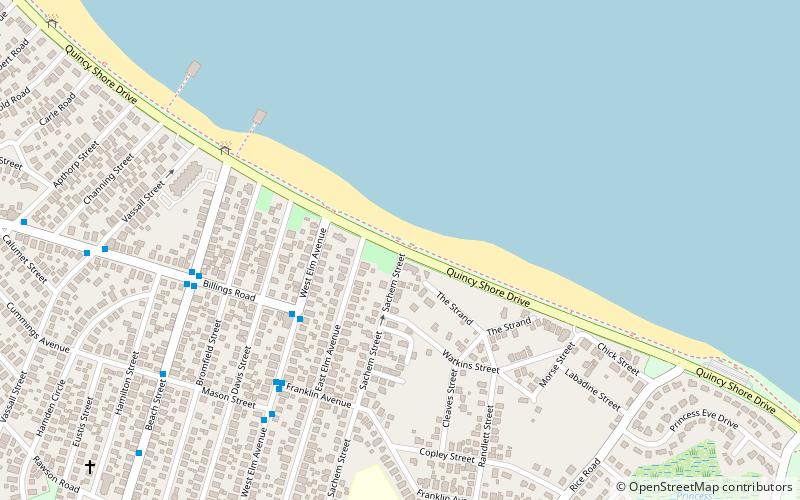
Wollaston Beach is the largest public beach in the Boston harbor. The beach is located parallel to Quincy Shore Drive in North Quincy, Massachusetts, which was constructed to provide access to the bay beach for Greater Boston. Wollaston beach expands Quincy Bay forming part of Boston Harbor. The northern end of the beach is the Native American historical site, Moswetuset Hummock which is where the original Moswetuset Sac'hem had a tribal council. ()
Elevation: 3 ft a.s.l.Coordinates: 42°16'36"N, 71°0'34"W
Address
Quincy (Wollaston)Quincy
ContactAdd
Social media
Add
Day trips
Wollaston Beach – popular in the area (distance from the attraction)
Nearby attractions include: Quincy Shore Reservation, Josiah Quincy House, Mount Wollaston Cemetery, Wollaston Congregational Church.
Frequently Asked Questions (FAQ)
Which popular attractions are close to Wollaston Beach?
Nearby attractions include Quincy Shore Drive, Quincy (6 min walk), Squantum Yacht Club, Quincy (8 min walk), Eastern Nazarene College, Quincy (11 min walk), Josiah Quincy House, Quincy (11 min walk).
How to get to Wollaston Beach by public transport?
The nearest stations to Wollaston Beach:
Bus
Bus
- North Quincy Station (26 min walk)


