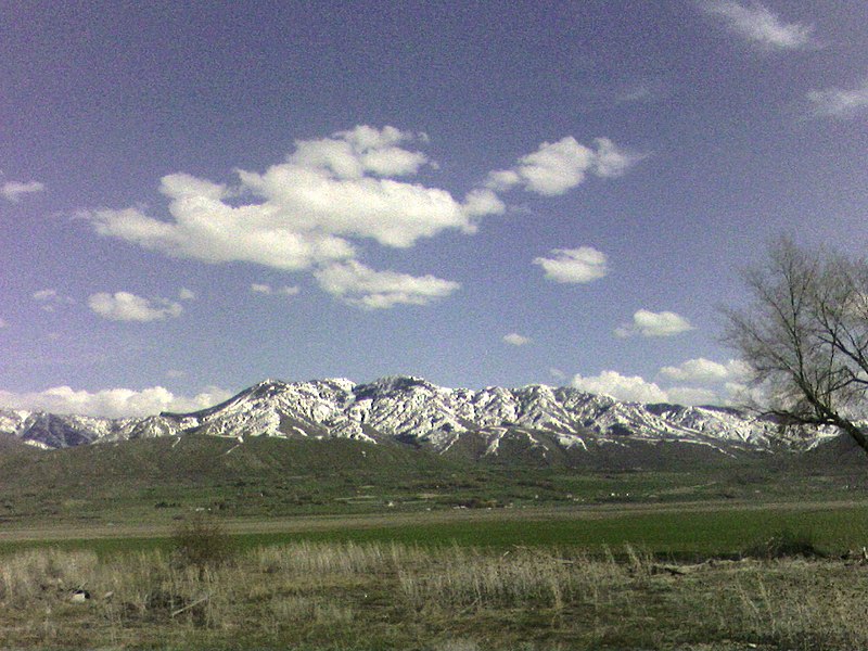
Bear River Mountains, Wasatch–Cache National Forest

Gallery (3)
Map
Map
Gallery
Facts and practical information
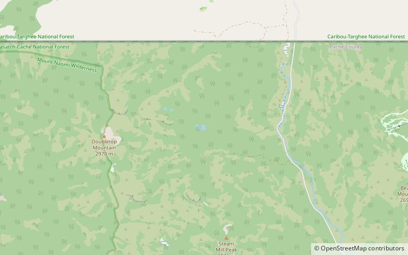
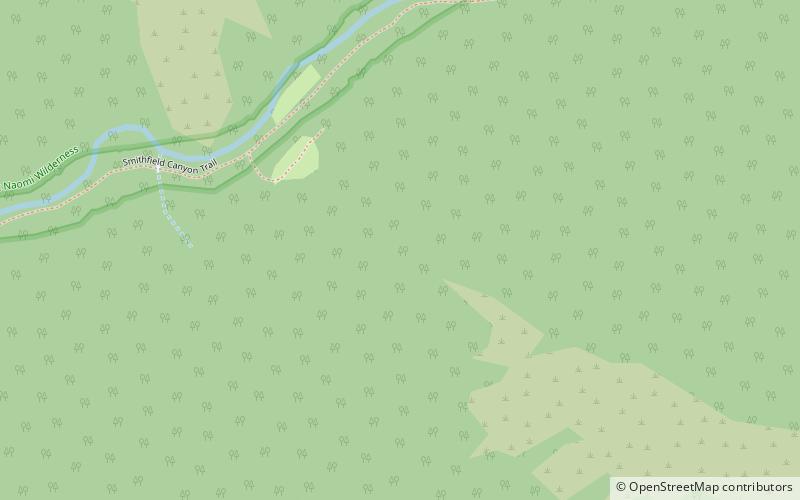
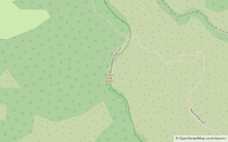
The Bear River Range, is a mountain range located in northeastern Utah and southeastern Idaho in the western United States. ()
Area: 1615 mi²Maximum elevation: 9979 ftCoordinates: 41°54'41"N, 111°40'30"W
Address
Wasatch–Cache National Forest
ContactAdd
Social media
Add
Day trips