Ricks Spring, Wasatch–Cache National Forest
Map

Gallery

Facts and practical information
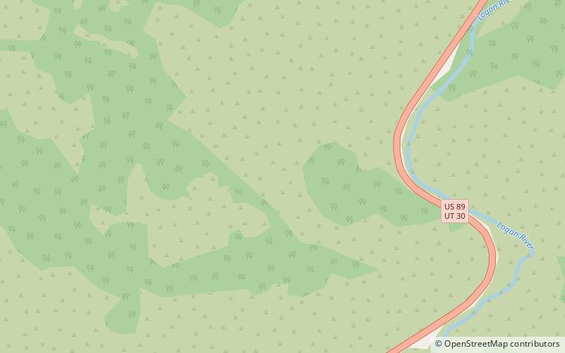
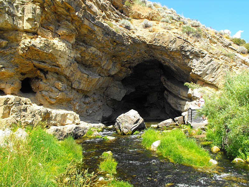
Ricks Spring is a karst spring, a natural water outflow from a cave in Logan Canyon within the Wasatch-Cache National Forest in northeast Utah. The spring is not an artesian source, but comes from the Logan River. Ricks Spring is the best known of several springs in an underground water network of the area. ()
Coordinates: 41°50'38"N, 111°35'31"W
Address
Wasatch–Cache National Forest
ContactAdd
Social media
Add
Day trips
Ricks Spring – popular in the area (distance from the attraction)
Nearby attractions include: Tony Grove Lake, Logan Canyon, Naomi Peak, Beirdneau Peak.


