Newark Drawbridge, Newark
Map

Map

Facts and practical information
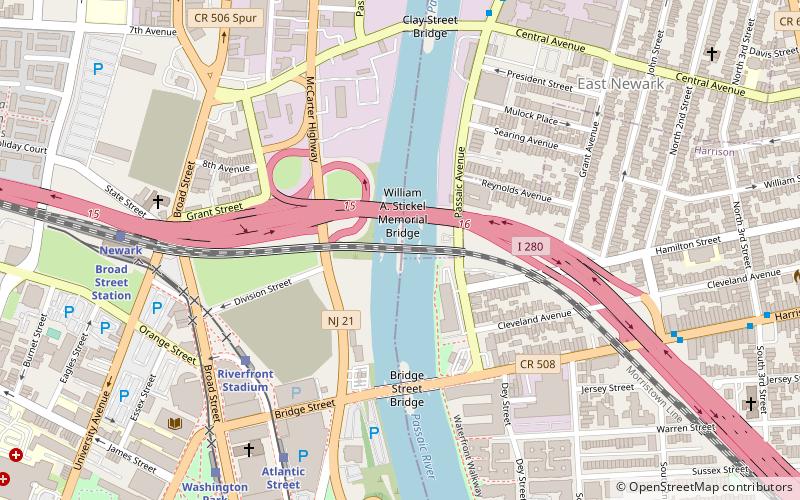
The Newark Drawbridge, also known as the Morristown Line Bridge, is a railroad bridge on the Passaic River between Newark and Harrison, New Jersey. The swing bridge is the 11th bridge from the river's mouth at Newark Bay and is 5.85 miles upstream from it. Opened in 1903, it is owned and operated by New Jersey Transit. ()
Opened: 1903 (123 years ago)Length: 870 ftWidth: 30 ftCoordinates: 40°44'51"N, 74°9'57"W
Address
Newark Central Business DistrictNewark
ContactAdd
Social media
Add
Day trips
Newark Drawbridge – popular in the area (distance from the attraction)
Nearby attractions include: New Jersey Performing Arts Center, The Newark Museum of Art, Aljira, Bridge Street Bridge.
Frequently Asked Questions (FAQ)
Which popular attractions are close to Newark Drawbridge?
Nearby attractions include William A. Stickel Memorial Bridge, Newark (2 min walk), Bridge Street Bridge, Newark (4 min walk), Clay Street Bridge, Newark (7 min walk), Wars of America, Newark (7 min walk).
How to get to Newark Drawbridge by public transport?
The nearest stations to Newark Drawbridge:
Light rail
Train
Metro
Bus
Light rail
- Riverfront Stadium • Lines: Nlr (6 min walk)
- Atlantic Street • Lines: Nlr (7 min walk)
Train
- Newark Broad Street (8 min walk)
- Newark Penn Station (23 min walk)
Metro
- Harrison • Lines: Nwk–Wtc (20 min walk)
- Newark Penn Station • Lines: Nwk–Wtc (23 min walk)
Bus
- Broad St & Market St • Lines: 62 (23 min walk)
- Newark Penn Bus Terminal (23 min walk)


