Lincoln Avenue Viaduct, Little Rock
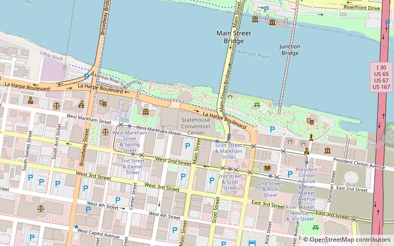
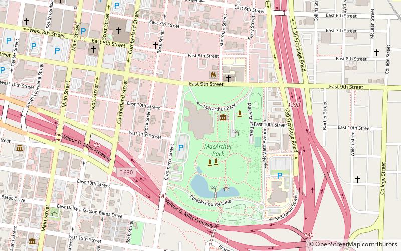
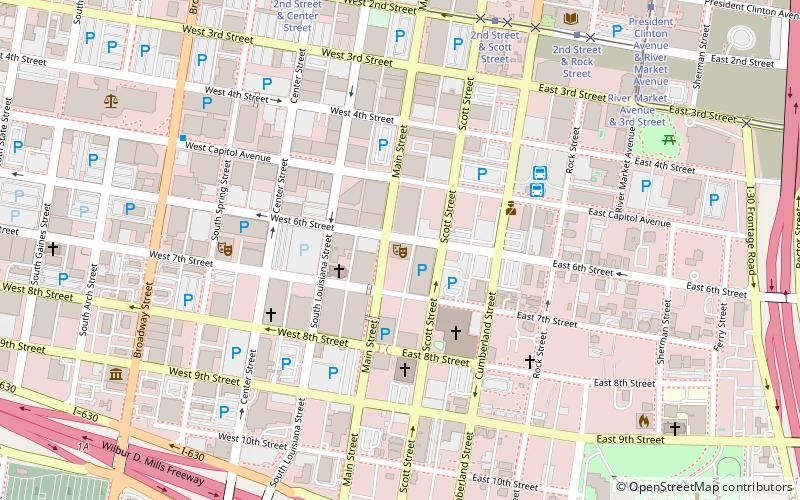
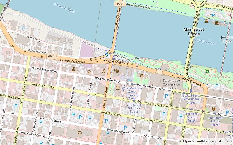
Map
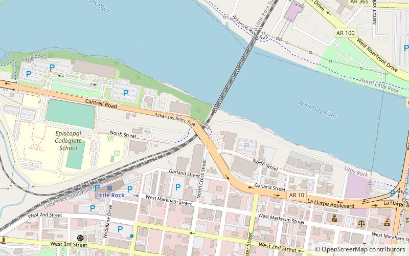
Map

Facts and practical information
The Lincoln Avenue Viaduct, also known as the Cantrell Road Bridge, is a historic bridge, now carrying the westbound lanes of Cantrell Road across railroad tracks in downtown Little Rock, Arkansas. The bridge is a rainbow arch structure built out of reinforced concrete, with an arch length of 90 feet, and a total structure length of 144 feet. The bridge was built in 1928 by the Missouri-Pacific Railroad and given to the city; it is the only bridge of its type in the state. ()
Built: 1928 (98 years ago)Coordinates: 34°45'9"N, 92°16'59"W
Address
Downtown Little RockLittle Rock
ContactAdd
Social media
Add
Day trips
Lincoln Avenue Viaduct – popular in the area (distance from the attraction)
Nearby attractions include: Simmons Bank Arena, Dickey-Stephens Park, Arkansas State Capitol, Statehouse Convention Center.
Frequently Asked Questions (FAQ)
Which popular attractions are close to Lincoln Avenue Viaduct?
Nearby attractions include Solomon Gans House, Little Rock (9 min walk), Esso Standard Oil Service Station, Little Rock (12 min walk), Confederate Soldiers Monument, Little Rock (12 min walk), Old Little Rock Central Fire Station, Little Rock (13 min walk).
How to get to Lincoln Avenue Viaduct by public transport?
The nearest stations to Lincoln Avenue Viaduct:
Train
Tram
Bus
Train
- Little Rock (7 min walk)
Tram
- West Markham Street & Spring Street • Lines: Blue, Green (16 min walk)
- 2nd Street & Center Street • Lines: Blue, Green (17 min walk)
Bus
- Greyhound.. Little Rock. AR (24 min walk)
- Central Arkansas Transit Authority Bus Terminal (27 min walk)


