Rampart Range, Pike National Forest
Map

Map

Facts and practical information
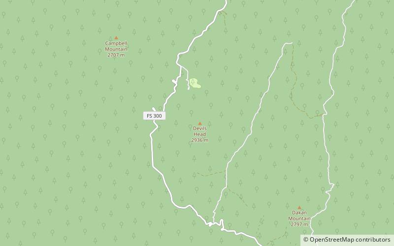
The Rampart Range is a mountain range located in Douglas, El Paso, and Teller counties, Colorado. It is part of the Front Range of the Rocky Mountains. The range is almost entirely public land within the Pike National Forest. ()
Coordinates: 39°15'37"N, 105°6'7"W
Address
Pike National Forest
ContactAdd
Social media
Add
Day trips
Rampart Range – popular in the area (distance from the attraction)
Nearby attractions include: Devil's Head Lookout, Devils Head.
Frequently Asked Questions (FAQ)
Which popular attractions are close to Rampart Range?
Nearby attractions include Devil's Head Lookout, Pike National Forest (1 min walk), Devils Head, Pike National Forest (2 min walk).


