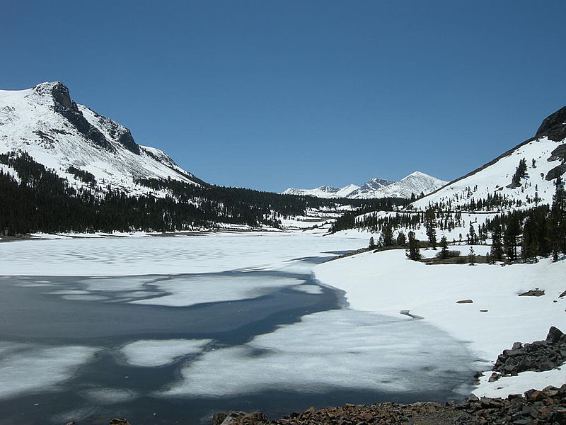
Tioga Lake, Yosemite National Park

Gallery (2)
Map
Map
Gallery
Facts and practical information
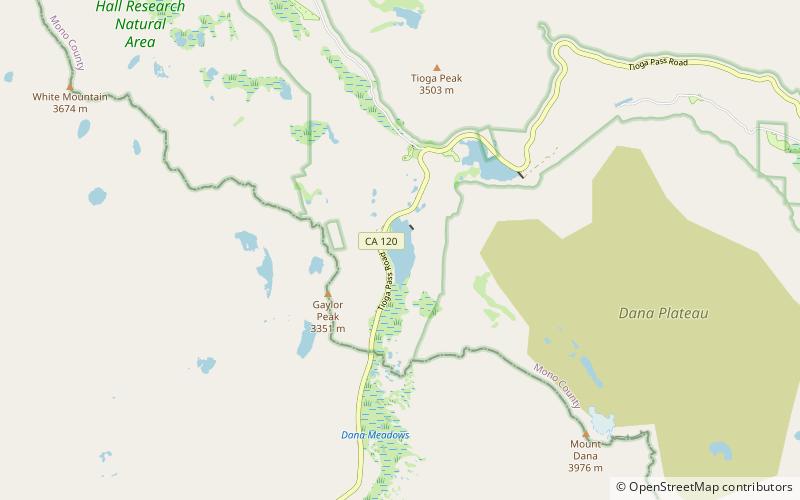
Tioga Lake is a small glacial lake in the Inyo National Forest of Mono County, California, about two miles north of the Tioga Pass entrance to Yosemite National Park. The lake bed is alongside State Route 120 in the Sierra Nevada of California. ()
Length: 3432 ftWidth: 1320 ftElevation: 9636 ft a.s.l.Coordinates: 37°55'29"N, 119°15'11"W
Day trips


