Lyell Canyon, Yosemite National Park
Map

Gallery

Facts and practical information
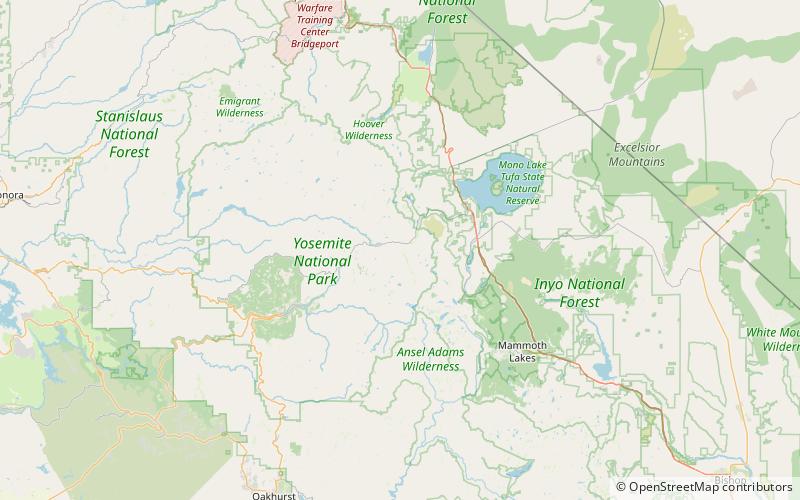
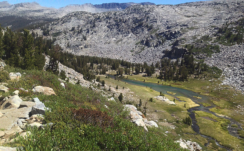
Lyell Canyon is a sub-alpine meadow in Yosemite National Park south of Tuolumne Meadows. For 13 kilometers most of the canyon has an approximate elevation of 2 700 meters, and then rapidly climbs to 3 370 meters to Donohue Pass, below Donohue Peak – which marks the eastern boundary of Yosemite. The valley at the base is relatively flat and wide, following the Lyell Fork of the Tuolumne River through an open meadow and wooded areas. The Lyell Fork eventually meets with Tuolumne River. ()
Length: 8 miCoordinates: 37°51'51"N, 119°18'7"W
Address
Yosemite National Park
ContactAdd
Social media
Add
Day trips
Lyell Canyon – popular in the area (distance from the attraction)
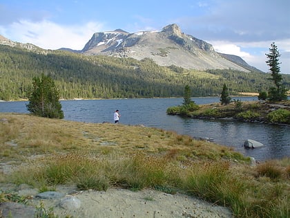
Nearby attractions include: Tioga Lake, Pothole Dome, Mount Dana, Ragged Peak.


