Boise River Greenbelt, Boise
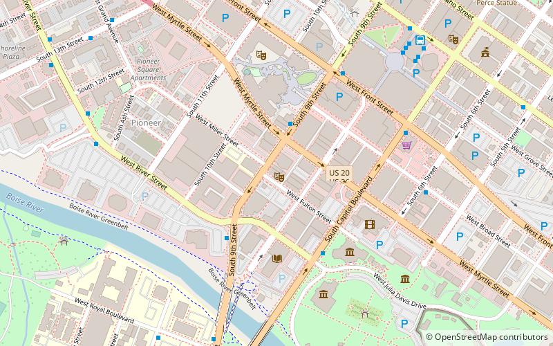
Map
Gallery
Facts and practical information
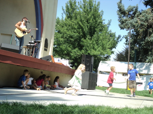
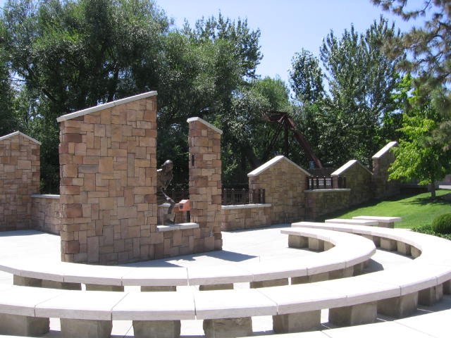
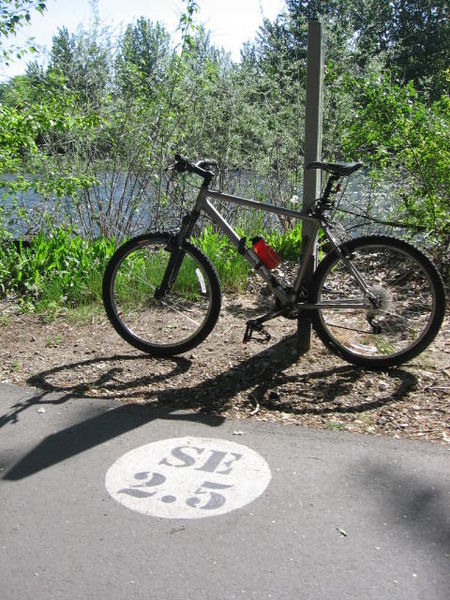
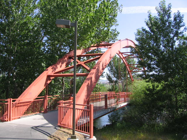
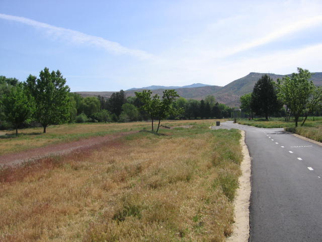
The Boise River Greenbelt is a recreational and alternate transportation trail along the banks of the Boise River through Boise, Idaho, United States. The Boise Greenbelt is more of a greenway than a green belt since its character is linear. It extends more than 20 miles beginning at Lucky Peak Dam in the east to a short distance beyond Eagle Road in the west in Eagle, Idaho. Taking into account both sides of the river and other parallel trails and spurs, the total Greenbelt trail system measures more than 30 miles. ()
Coordinates: 43°36'44"N, 116°13'1"W
Address
NorthwestBoise
ContactAdd
Social media
Add
Day trips
Boise River Greenbelt – popular in the area (distance from the attraction)
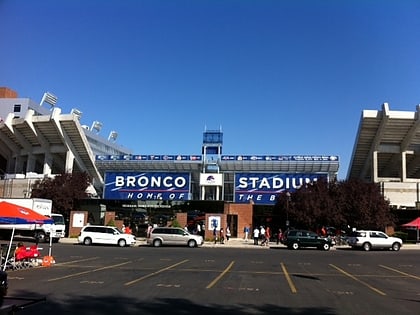
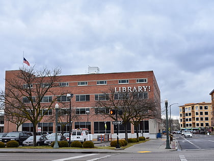
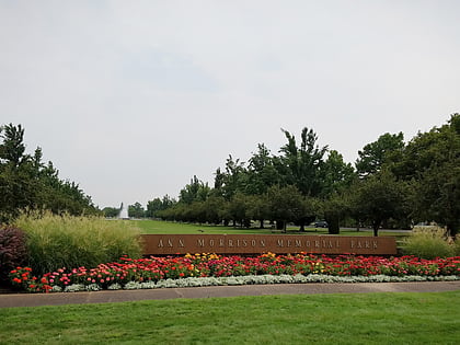
Nearby attractions include: Albertsons_Stadium, Boise Public Library, Ann Morrison Park, Boise Art Museum.
Frequently Asked Questions (FAQ)
Which popular attractions are close to Boise River Greenbelt?
Nearby attractions include Ann Morrison Park, Boise (5 min walk), Anne Frank Human Rights Memorial, Boise (12 min walk), Boise Contemporary Theater, Boise (12 min walk), Boise Public Library, Boise (12 min walk).
How to get to Boise River Greenbelt by public transport?
The nearest stations to Boise River Greenbelt:
Bus
Bus
- West River Street & South Pioneer Street SEC • Lines: 4, 5 (5 min walk)


