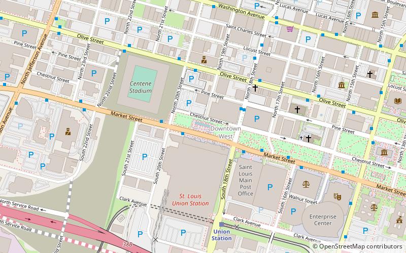
Aloe Plaza, St. Louis
Map

Map

Facts and practical information
Aloe Plaza is a small park and plaza in St Louis, directly in front of Union Station; it is the western terminus of the St. Louis Gateway Mall. ()
Created: 1931Elevation: 466 ft a.s.l.Coordinates: 38°37'48"N, 90°12'28"W
Day trips
Aloe Plaza – popular in the area (distance from the attraction)
Nearby attractions include: Busch Stadium, Scottrade Center, The Dome at America's Center, City Museum.
Frequently Asked Questions (FAQ)
Which popular attractions are close to Aloe Plaza?
Nearby attractions include Downtown West, St. Louis (1 min walk), Plaza Square Apartments Historic District, St. Louis (5 min walk), Centenary Methodist Episcopal Church, St. Louis (6 min walk), Memorial Plaza, St. Louis (6 min walk).
How to get to Aloe Plaza by public transport?
The nearest stations to Aloe Plaza:
Light rail
Bus
Train
Light rail
- Union Station • Lines: Blue, Red (6 min walk)
- Civic Center • Lines: Blue, Red (12 min walk)
Bus
- P • Lines: 174X (11 min walk)
- N • Lines: 74 (11 min walk)
Train
- Saint Louis (12 min walk)


