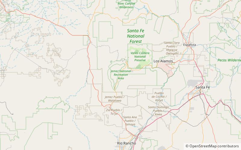
Jemez National Forest, Jemez Springs

Map
Facts and practical information
Jemez National Forest in New Mexico was established as the Jemez Forest Reserve by the U.S. Forest Service on October 12, 1905 with 1,237,205 acres. It became a National Forest on March 4, 1907. On July 1, 1915 most of the forest was combined with Pecos National Forest to establish Santa Fe National Forest, and the name was discontinued. A portion was previously transferred to Carson National Forest in 1908. ()
Coordinates: 35°46'40"N, 106°41'17"W
Address
Jemez Springs
ContactAdd
Social media
Add
Day trips
Jemez National Forest – popular in the area (distance from the attraction)
Nearby attractions include: Jemez Historic Site, Jemez Hot Springs: Home of The Giggling Springs, Jemez Springs Bath House, Bodhi Manda Zen Center.
Frequently Asked Questions (FAQ)
Which popular attractions are close to Jemez National Forest?
Nearby attractions include Jemez Historic Site, Jemez Springs (4 min walk), Bodhi Manda Zen Center, Jemez Springs (9 min walk), Jemez Springs Bath House, Jemez Springs (12 min walk), Jemez Hot Springs: Home of The Giggling Springs, Jemez Springs (15 min walk).


