Schiller Park, Columbus
Map

Gallery

Facts and practical information
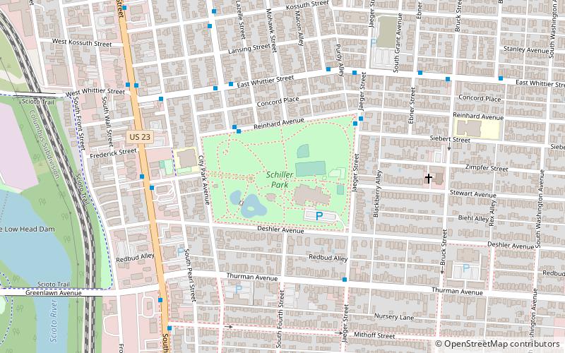
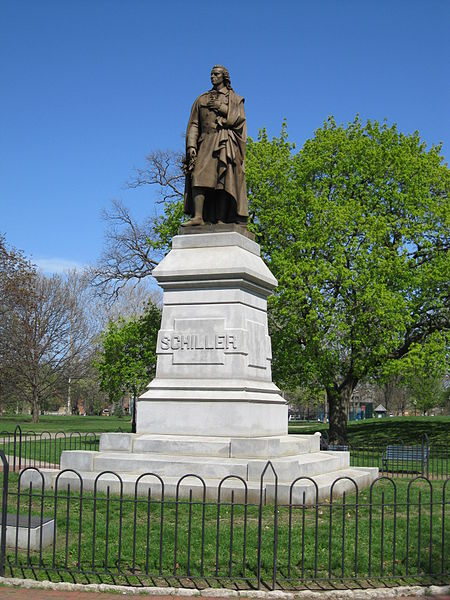
Schiller Park is a 23.45-acre municipal park located in German Village, a historic neighborhood in Columbus, Ohio. The park is bounded by Reinhard Avenue to the north, Jaeger Street to the east, East Deshler Avenue to the south, and City Park Avenue to the west. ()
Established: 1867 (159 years ago)Elevation: 758 ft a.s.l.Coordinates: 39°56'32"N, 82°59'33"W
Address
1069 Jaeger StSouth Columbus (German Village)Columbus 43206-2678
Contact
+1 614-443-3699
Social media
Add
Day trips
Schiller Park – popular in the area (distance from the attraction)
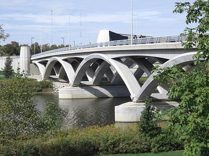
Nearby attractions include: Cultural Arts Center, Rich Street Bridge, Columbus Commons, Saint Mary of the Assumption Catholic Church.
Frequently Asked Questions (FAQ)
Which popular attractions are close to Schiller Park?
Nearby attractions include Umbrella Girl, Columbus (3 min walk), Krumm House, Columbus (7 min walk), German Village, Columbus (7 min walk), Charles S. Barrett Building, Columbus (9 min walk).
How to get to Schiller Park by public transport?
The nearest stations to Schiller Park:
Bus
Bus
- Parsons Ave & Zimpfer St • Lines: 4, 8 (13 min walk)


