Main Street Bridge, Columbus
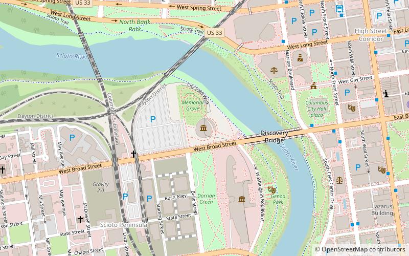
Map
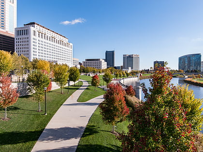
Gallery

Facts and practical information
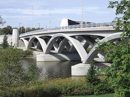
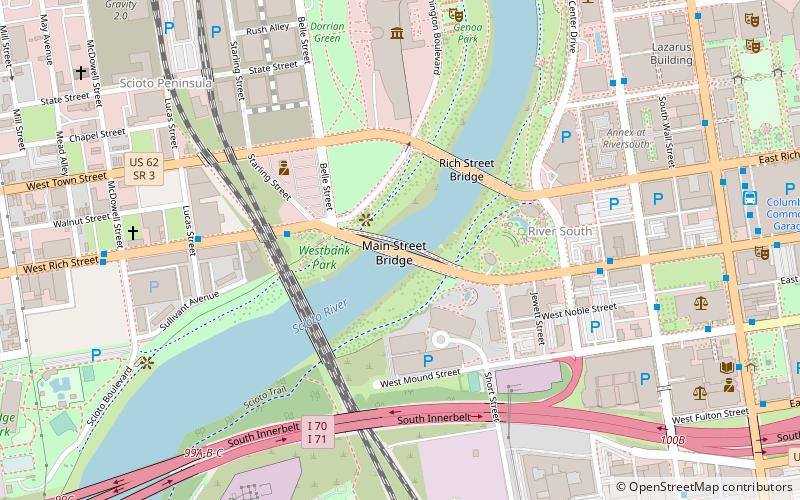
The Main Street Bridge in Columbus, Ohio is a 700 ft, three-span, inclined tied arch bridge over the Scioto River. The bridge is the first in North America and the fifth in the world to use an inclined single-rib-tied arch superstructure. The final cost for the bridge was $60.1 million. It carries Main Street northwest from Downtown Columbus into Franklinton, splitting into Rich and Starling Streets just west of the bridge. ()
Coordinates: 39°57'22"N, 83°0'23"W
Address
FranklintonColumbus
ContactAdd
Social media
Add
Day trips
Main Street Bridge – popular in the area (distance from the attraction)
Nearby attractions include: National Veterans Memorial and Museum, Battelle Riverfront Park, Cultural Arts Center, Rich Street Bridge.
Frequently Asked Questions (FAQ)
Which popular attractions are close to Main Street Bridge?
Nearby attractions include Rich Street Bridge, Columbus (4 min walk), Cultural Arts Center, Columbus (5 min walk), Milestone 229, Columbus (5 min walk), Columbus Police Memorial, Columbus (6 min walk).
How to get to Main Street Bridge by public transport?
The nearest stations to Main Street Bridge:
Bus
Bus
- W Rich St & Starling St • Lines: 3, 6 (4 min walk)
- W Main St & S Ludlow St • Lines: 3, 6 (6 min walk)

