Transfer Station, Union City
Map
Gallery
Facts and practical information
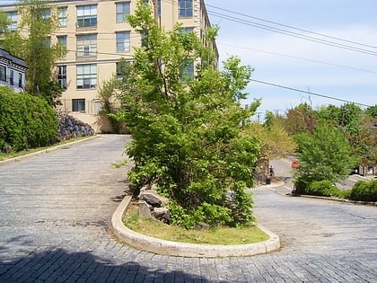
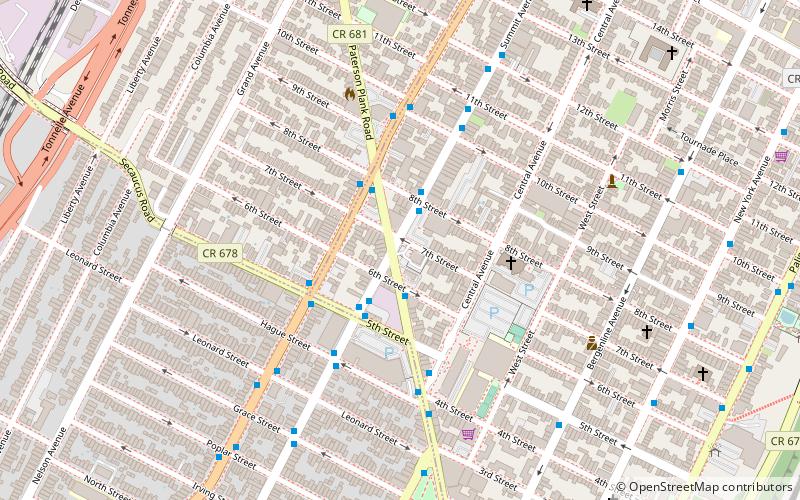
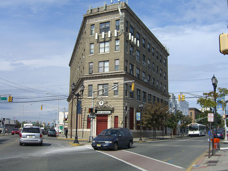
Transfer Station is the name of a section of Hudson County, New Jersey, which radiates from the intersection where Paterson Plank Road crosses Summit Avenue at 7th Street. It is near the tripoint where the borders of Jersey City Heights, North Bergen, and Union City intersect, which is a few blocks to the southwest of the station, at the intersection of Secaucus Road and Kennedy Boulevard. ()
Coordinates: 40°45'29"N, 74°2'38"W
Address
Union CityUnion City
ContactAdd
Social media
Add
Day trips
Transfer Station – popular in the area (distance from the attraction)
Nearby attractions include: Hoboken Historical Museum, Monastery and Church of Saint Michael the Archangel, Weehawken, Hoboken.
Frequently Asked Questions (FAQ)
Which popular attractions are close to Transfer Station?
Nearby attractions include Bergenline Avenue, Jersey City (9 min walk), Blue Chapel, Union City (10 min walk), Monastery and Church of Saint Michael the Archangel, Union City (17 min walk), 14th Street, Jersey City (20 min walk).
How to get to Transfer Station by public transport?
The nearest stations to Transfer Station:
Bus
Light rail
Ferry
Bus
- Paterson Plank Road at 6th Street • Lines: 85 (2 min walk)
- Summit Avenu at 5th Street • Lines: 85 (3 min walk)
Light rail
- 9th Street–Congress Street • Lines: Hblr (18 min walk)
- Lincoln Harbor • Lines: Hblr (28 min walk)
Ferry
- Lincoln Harbor (29 min walk)
- Hoboken 14th Street (30 min walk)


