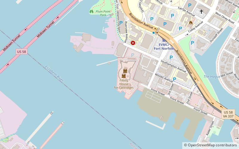
Fort Norfolk, Norfolk
Map
Facts and practical information
Fort Norfolk is a historic fort and national historic district located at Norfolk, Virginia. With the original buildings having been built between 1795 and 1809, the fort encloses 11 buildings: main gate, guardhouse, officers' quarters, powder magazine, and carpenter's shop. Fort Norfolk is the last remaining fortification of President George Washington's 18th century harbor defenses, later termed the first system of US fortifications. It has served as the district office for the U.S. Army Engineer District, Norfolk since 1923. ()
Coordinates: 36°51'24"N, 76°18'24"W
Getting there by public transportation
Public transportation stops near this location
- Bus
- Light rail
- Ferry
 Bus
Bus
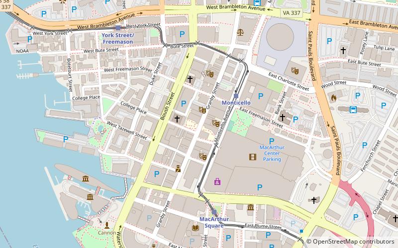
- Calculate routeEVMC/Fort Norfolk 6 min walk
- Calculate routeYork Street/Freemason 19 min walk
- Calculate routeMonticello 27 min walk
- Calculate routeMacArthur Square 30 min walk
- Calculate routeNorfolk Greyhound Station 27 min walk
- Calculate routeWaterside 33 min walk
Day trips


Frequently Asked Questions (FAQ)
Which popular attractions are close to Fort Norfolk?
Nearby attractions include Midtown Tunnel, Norfolk (10 min walk), Eastern Virginia Medical School, Norfolk (12 min walk), Christ and St. Luke's Church, Norfolk (13 min walk), Stockley Gardens Arts Festival, Norfolk (14 min walk).
How to get to Fort Norfolk by public transport?
The nearest stations to Fort Norfolk:
Light rail
Bus
Ferry
Light rail
- EVMC/Fort Norfolk • Lines: Tide (6 min walk)
- York Street/Freemason • Lines: Tide (19 min walk)
Bus
- Norfolk Greyhound Station (27 min walk)
Ferry
- Waterside • Lines: Elizabeth River Ferry (33 min walk)