Tidewater Community College, Norfolk
Map
Facts and practical information
Tidewater Community College is a public community college in South Hampton Roads, Virginia, with campuses in Chesapeake, Norfolk, Portsmouth, Suffolk, and Virginia Beach. It is part of the Virginia Community College System and is accredited by the Southern Association of Colleges and Schools Commission on Colleges to award the associate degree. ()
Coordinates: 36°51'1"N, 76°17'25"W
Address
121 College PlaceDowntown NorfolkNorfolk
Contact
+1 757-822-1110
Social media
Add
Getting there by public transportation
Public transportation stops near this location
- Bus
- Light rail
- Train
- Ferry
 Bus
Bus
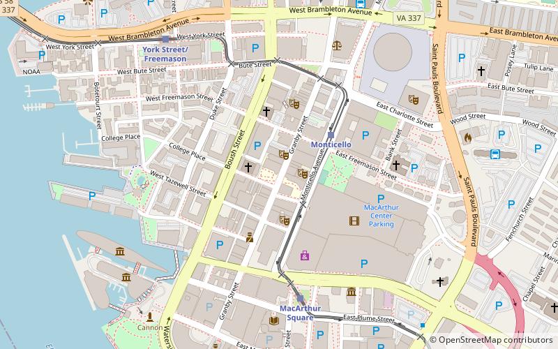
- Calculate routeMonticello 3 min walk
- Calculate routeMacArthur Square 6 min walk
- Calculate routeYork Street/Freemason 8 min walk
- Calculate routeCivic Plaza 11 min walk
- Calculate routeNorfolk Greyhound Station 9 min walk
- Calculate routeNorfolk Downtown Transit Center 10 min walk
- Calculate routeAmtrak Bus Stop 25 min walk
- Calculate routeWaterside 13 min walk
- Calculate routeNorth Landing 22 min walk
- Calculate routeHigh Street 28 min walk
- Calculate routeNorfolk 24 min walk
Day trips
Tidewater Community College – popular in the area (distance from the attraction)
Nearby attractions include: Chrysler Museum of Art, MacArthur Center, Harbor Park, Waterside.


Frequently Asked Questions (FAQ)
Which popular attractions are close to Tidewater Community College?
Nearby attractions include The NorVa, Norfolk (1 min walk), TCC Roper Performing Arts Center, Norfolk (2 min walk), Wells Theatre, Norfolk (3 min walk), Epworth United Methodist Church, Norfolk (3 min walk).
How to get to Tidewater Community College by public transport?
The nearest stations to Tidewater Community College:
Light rail
Bus
Ferry
Train
Light rail
- Monticello • Lines: Tide (3 min walk)
- MacArthur Square • Lines: Tide (6 min walk)
Bus
- Norfolk Greyhound Station (9 min walk)
- Norfolk Downtown Transit Center (10 min walk)
Ferry
- Waterside • Lines: Elizabeth River Ferry (13 min walk)
- North Landing • Lines: Elizabeth River Ferry (22 min walk)
Train
- Norfolk (24 min walk)