McKinley Park, Sacramento
Map
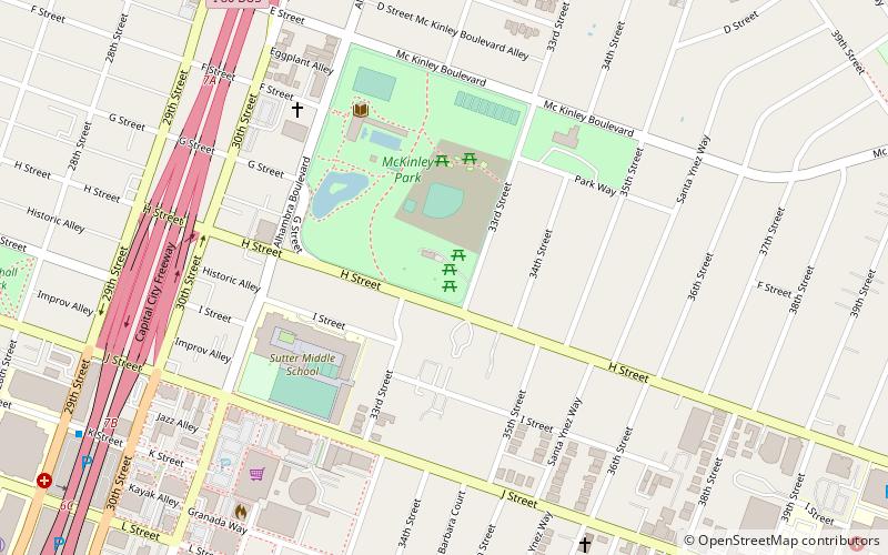
Map

Facts and practical information
McKinley Park is a historically significant city park located in Sacramento, California. The Sacramento Street Railway Company built the park in 1871 to attract passengers to its line and the park continues to serve as both a recreational area and a gathering spot for residents of the greater Sacramento area. ()
Elevation: 26 ft a.s.l.Coordinates: 38°34'29"N, 121°27'40"W
Address
601 Alhambra BlvdCentral Sacramento (East Sacramento)Sacramento 95816
Contact
(916) 277-6060
Social media
Add
Day trips
McKinley Park – popular in the area (distance from the attraction)
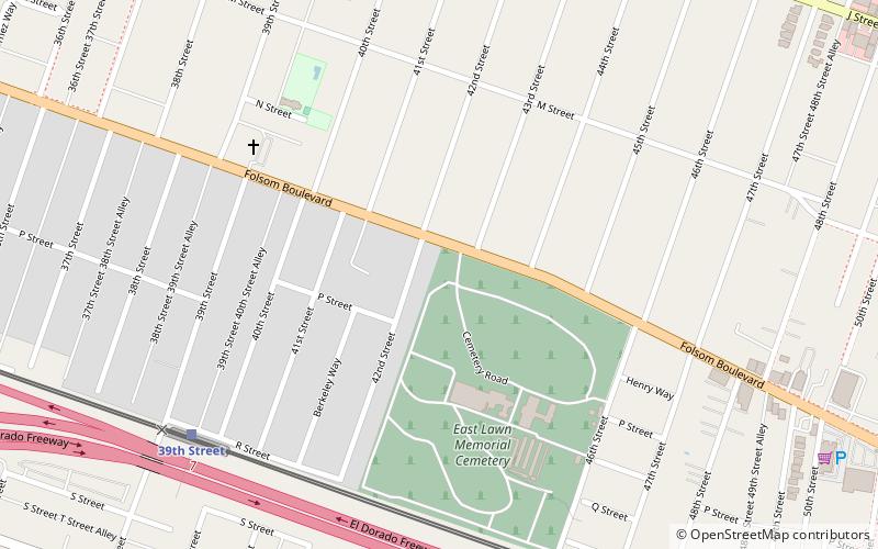
Nearby attractions include: Sutter's Fort, East Lawn Memorial Park, Thistle Dew Dessert Theatre, California State Indian Museum.
Frequently Asked Questions (FAQ)
Which popular attractions are close to McKinley Park?
Nearby attractions include Shepard Garden and Arts Center, Sacramento (5 min walk), Old Tavern, Sacramento (13 min walk), California State Indian Museum, Sacramento (15 min walk), Sutter's Fort, Sacramento (15 min walk).
How to get to McKinley Park by public transport?
The nearest stations to McKinley Park:
Bus
Train
Light rail
Bus
- Sacramento Midtown • Lines: 2062, 2064 (11 min walk)
Train
- 29th Street (23 min walk)
- 39th Street (25 min walk)
Light rail
- 29th Street • Lines: Gold (23 min walk)
- 39th Street • Lines: Gold (26 min walk)


