Tremont, Cleveland
Map
Gallery
Facts and practical information
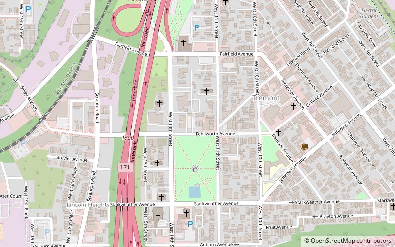
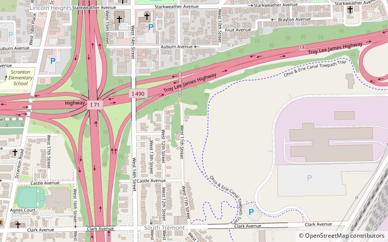
Tremont is a neighborhood on the West Side of Cleveland, Ohio. Listed on the National Register of Historic Places, the district sits just south of the Ohio City neighborhood. It is bounded by the Cuyahoga Valley to the north and east, MetroHealth medical center to the south, and West 25th Street and Columbus Road to the west. ()
Coordinates: 41°28'25"N, 81°41'19"W
Address
TremontCleveland
ContactAdd
Social media
Add
Day trips
Tremont – popular in the area (distance from the attraction)
Nearby attractions include: West Side Market, Steelyard Commons, A Christmas Story House, St. Theodosius Russian Orthodox Cathedral.
Frequently Asked Questions (FAQ)
Which popular attractions are close to Tremont?
Nearby attractions include Pilgrim Congregational Church, Cleveland (8 min walk), A Christmas Story House, Cleveland (9 min walk), Doubting Thomas Gallery, Cleveland (11 min walk), St. Theodosius Russian Orthodox Cathedral, Cleveland (12 min walk).
How to get to Tremont by public transport?
The nearest stations to Tremont:
Metro
Metro
- West 25th–Ohio City • Lines: Red (26 min walk)
- Tri-C–Campus District • Lines: Red (38 min walk)


