Buck Creek Gap, Three Ridges Wilderness
Map

Map

Facts and practical information
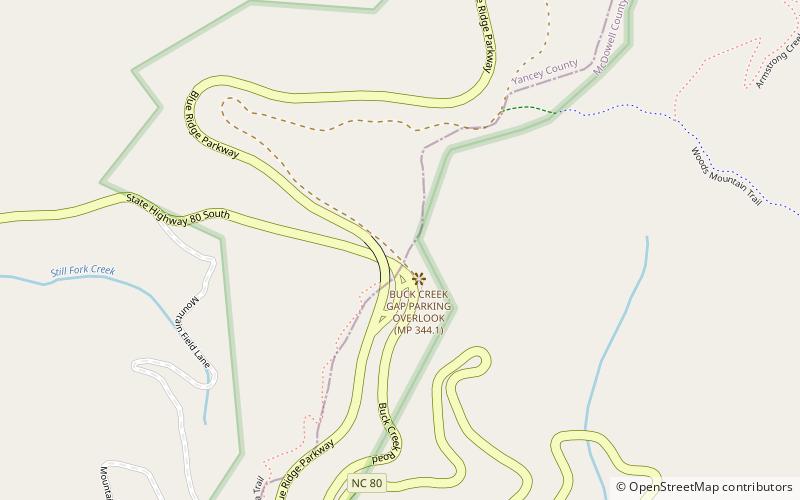
Buck Creek Gap is a mountain pass along the Blue Ridge Mountains. NC 80 connects with the Blue Ridge Parkway at the gap, where it travelers can go either towards Burnsville, Marion, Mount Mitchell or Little Switzerland. A scenic overlook is located at the gap, along NC 80; which is sometimes also used as a staging area for motorcycle enthusiasts. The gap is also along the Eastern Continental Divide and the McDowell–Yancey county line. ()
Maximum elevation: 3402 ftCoordinates: 35°46'16"N, 82°9'53"W
Address
Three Ridges Wilderness
ContactAdd
Social media
Add
Day trips
Buck Creek Gap – popular in the area (distance from the attraction)
Nearby attractions include: Crabtree Falls, Roaring Fork Falls, Setrock Creek Falls, Whiteoak Creek Falls.


