Jackson Hill Park, Cincinnati
Map
Facts and practical information
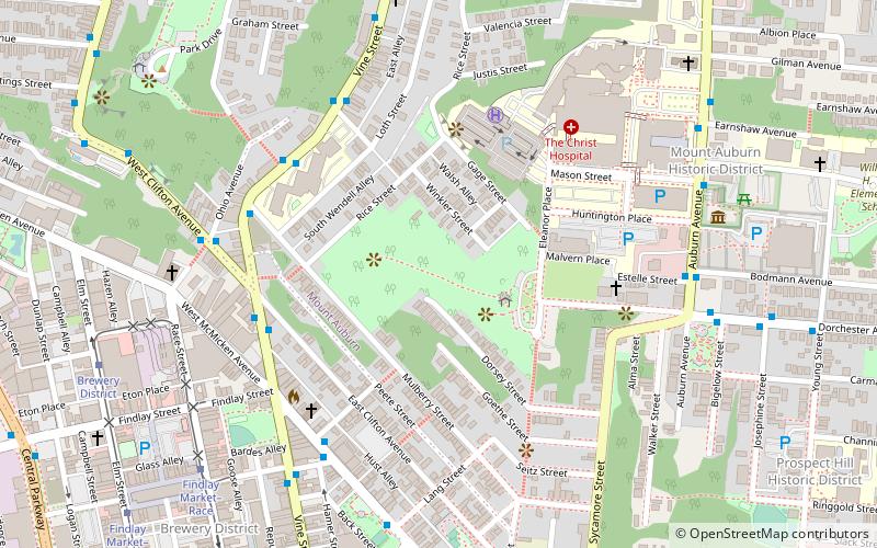
Jackson Hill Park is a Cincinnati park located in the neighborhood of Mt. Auburn, purchased by the city in 1930. The park is owned and operated by the Cincinnati Park Board. In 1983 the park received new landscaping and facilities, including a picnic shelter. ()
Elevation: 794 ft a.s.l.Coordinates: 39°7'7"N, 84°30'49"W
Address
Mount AuburnCincinnati
ContactAdd
Social media
Add
Getting there by public transportation
Public transportation stops near this location
- Bus
- Tram
 Bus
Bus
- Calculate routeVine & Mulberry 6 min walk
- Calculate routeMcmicken Ave & Elder St 6 min walk
- Calculate routeWest Clifton & Ohio 7 min walk
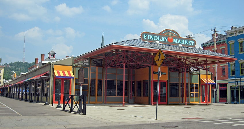
- Calculate routeFindlay Market–Race 9 min walk
- Calculate routeBrewery District 10 min walk
- Calculate routeLiberty & Race 12 min walk
Day trips


Frequently Asked Questions (FAQ)
Which popular attractions are close to Jackson Hill Park?
Nearby attractions include Philippus United Church of Christ, Cincinnati (8 min walk), Hopkins Park, Cincinnati (8 min walk), William Howard Taft National Historic Site, Cincinnati (8 min walk), Mount Auburn Historic District, Cincinnati (9 min walk).
How to get to Jackson Hill Park by public transport?
The nearest stations to Jackson Hill Park:
Bus
Tram
Bus
- Vine & Mulberry • Lines: 46 (6 min walk)
- Mcmicken Ave & Elder St • Lines: 17 (6 min walk)
Tram
- Findlay Market–Race • Lines: 100 (9 min walk)
- Brewery District • Lines: 100 (10 min walk)