Little Rock City Hall, Little Rock
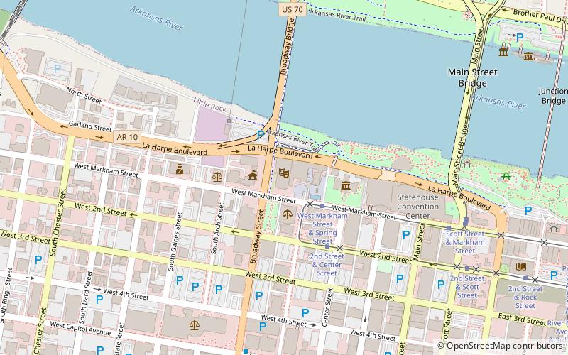
Map
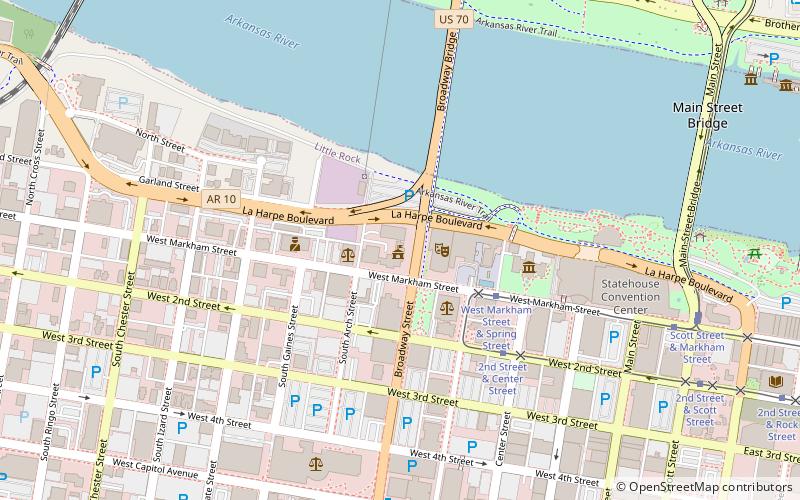
Map

Facts and practical information
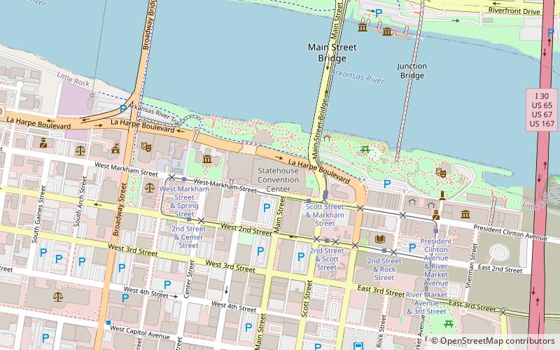
Little Rock City Hall, the seat of municipal government of the city of Little Rock, Arkansas, is located at 500 West Markham Street, in the city's downtown. It is a Renaissance Revival structure, designed by Arkansas architect Charles L. Thompson and built in 1907. Its main facade has a projecting Roman portico, supported by fluted Ionic columns, with flanking sections that have Roman-style round-arch openings. The building housed most of the city's departments until the 1950s. ()
Built: 1907 (119 years ago)Coordinates: 34°44'57"N, 92°16'31"W
Address
Downtown Little RockLittle Rock
ContactAdd
Social media
Add
Day trips
Little Rock City Hall – popular in the area (distance from the attraction)
Nearby attractions include: Simmons Bank Arena, Dickey-Stephens Park, Statehouse Convention Center, Old State House.
Frequently Asked Questions (FAQ)
Which popular attractions are close to Little Rock City Hall?
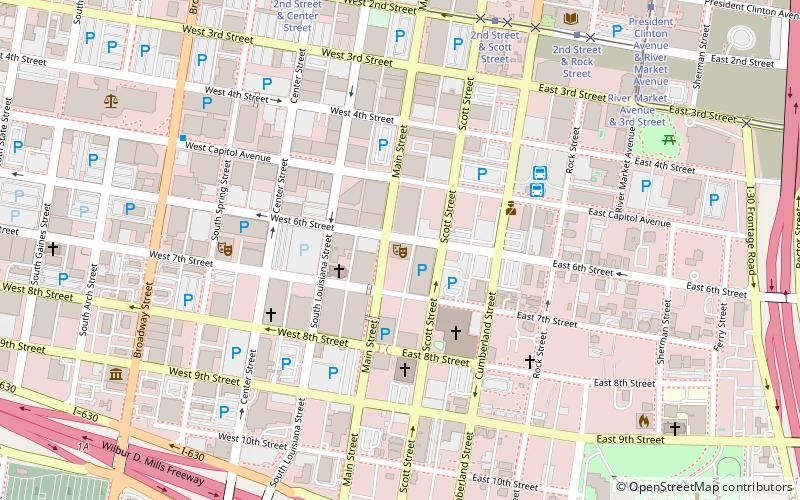
Nearby attractions include Old Little Rock Central Fire Station, Little Rock (1 min walk), Robinson Center, Little Rock (2 min walk), Pulaski County Courthouse, Little Rock (3 min walk), Old State House, Little Rock (5 min walk).
How to get to Little Rock City Hall by public transport?
The nearest stations to Little Rock City Hall:
Tram
Bus
Train
Tram
- West Markham Street & Spring Street • Lines: Blue, Green (4 min walk)
- 2nd Street & Center Street • Lines: Blue, Green (5 min walk)
Bus
- Central Arkansas Transit Authority Bus Terminal (15 min walk)
- Greyhound.. Little Rock. AR (15 min walk)
Train
- Little Rock (17 min walk)


